What is recorded here
The official Northern Ireland record identifies this as PIT & CIST BURIAL. Recorded period: PREHISTORIC; BRONZE AGE. The official map point was placed at the centre of the recorded archaeological site from the source map reference.
Pit and cist burial; Bronze Age. Represents a common form of early burial in which a body was placed in a stone-lined pit, reflecting funerary practices of the period.
The monument record does not grant public access. Check the route and ask the landowner before entering private land.
- What survives
- Recorded monument
Places near here
 Ballynabwee FortArchaeological place · 802 yd
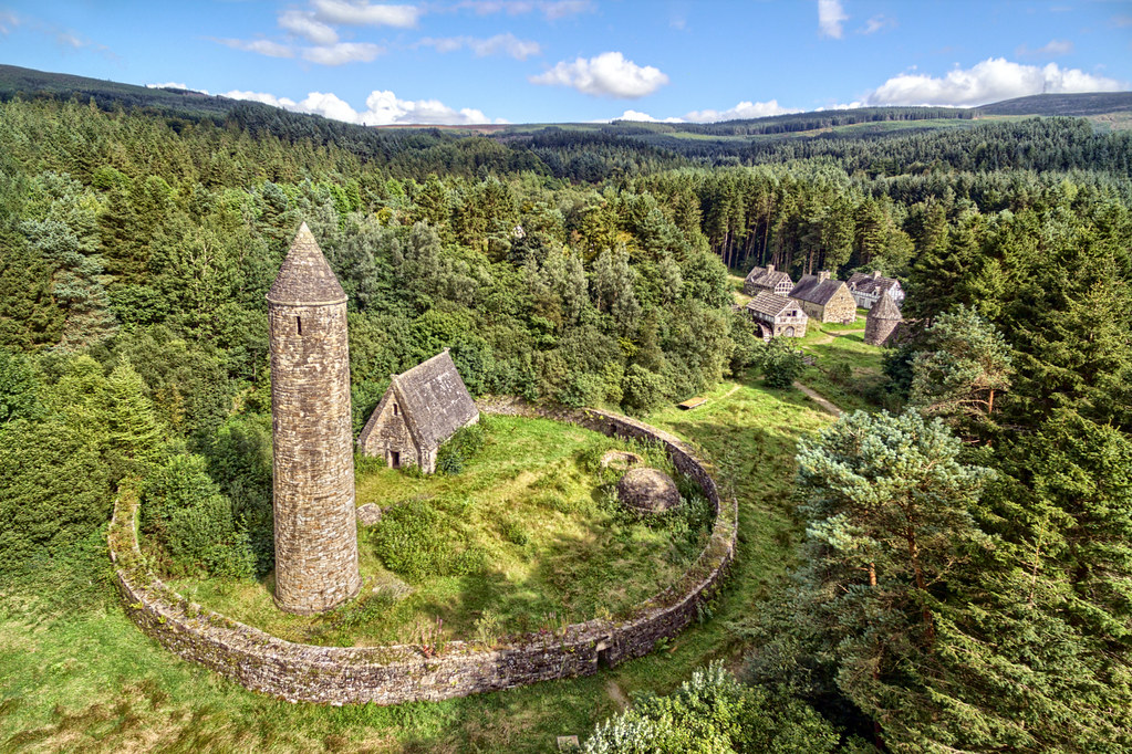 ENCLOSURE in MoyaghENCLOSURE · 1143 yd
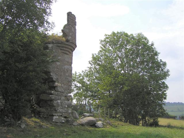 PLANTATION CASTLE: MOUNT CASTLE in MountcastlePLANTATION CASTLE: MOUNT CASTLE · 1643 yd
 Glencush BridgeBridge · 1718 yd
 Gortmonly HillMountain / peak · 1.7 mi
 St Mary's RC ChurchChurch · 2.0 mi
 Dunnamanagh CastleRuins · 2.9 mi
 BATTLE SITE: BATTLE OF THE FORDS, Northern crossing, 1689 in Ballydonaghy; Greenlaw; LeckpatrickBATTLE SITE: BATTLE OF THE FORDS, Northern crossing, 1689 · 2.9 mi
 Curryfree HillMountain / peak · 3.4 mi
 Round WoodWood · 3.7 mi
 Ballee WoodWood · 3.7 mi
 Battle of Knockavoe BattlefieldBattlefield · 4.8 mi