
What is recorded here
The official Northern Ireland record identifies this as a Grade B2 listed building. Recorded construction date: 1820 - 1839. Current recorded use: Church.
The official record and map point do not grant access. Many historic buildings are privately owned; view them only from public ground unless the owner allows entry.
Places near here
 ENCLOSURE in Drumenny BigENCLOSURE · 1245 yd
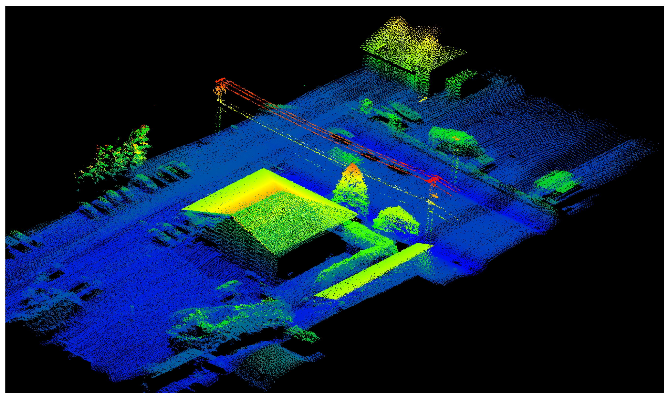 LiDAR site- Sub-circular enclosure in Lisdivin LowerLiDAR site- Sub-circular enclosure · 1667 yd
 BATTLE SITE: BATTLE OF THE FORDS, Northern crossing, 1689 in Ballydonaghy; Greenlaw; LeckpatrickBATTLE SITE: BATTLE OF THE FORDS, Northern crossing, 1689 · 1707 yd
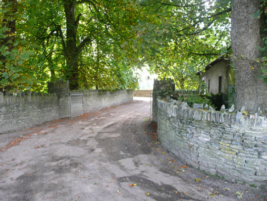 Porthall Housecountry house · 1.2 mi
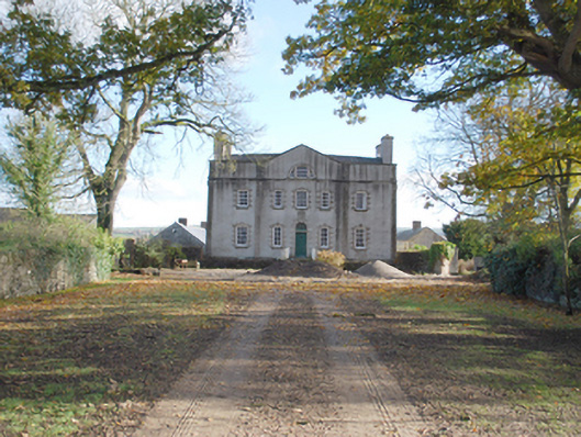 Port Hallcountry house · 1.3 mi
 Mongavlin CastleHouse, fortified house · 2.2 mi
 Ballee WoodWood · 2.5 mi
 Round WoodWood · 2.7 mi
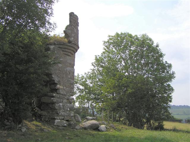 PLANTATION CASTLE: MOUNT CASTLE in MountcastlePLANTATION CASTLE: MOUNT CASTLE · 2.8 mi
 Gortmonly HillMountain / peak · 3.0 mi
 Battle of Knockavoe BattlefieldBattlefield · 3.1 mi
 Abercorn FactoryHeritage attraction · 3.9 mi
Other information
Photo: Kenneth Allen · CC BY-SA 2.0