What is recorded here
The following description is derived from both the published 'Archaeological Inventory of County Louth' (Dublin: Stationery Office, 1986) and the 'Archaeological Survey of County Louth' (Dublin: Stationery Office, 1991). In certain instances the entries have been revised and updated in the light of recent research.
Date of upload/revision: 17 July 2007
Found during ploughing on the slope of a fairly steep hill. The pit was circular in plan (diam. c. 0.7m, D c. 0.9m), cut into the boulder clay, and contained charcoal and two Cordoned Urns (Kavanagh 1976, 368, Nos 33, 34). (CLAJ 1928, 256-60)
Pit-burial in Gorteen is a Neolithic burial feature, likely dating to the 4th to 3rd millennium BCE. Its significance lies in providing evidence of early funerary practices and settlement patterns in the region during the Neolithic period.
The monument record does not grant public access. Check the route and ask the landowner before entering private land.
- What survives
- Recorded monument
Places near here
 Man-made underground passage in CarrickykellyMan-made underground passage · 984 yd
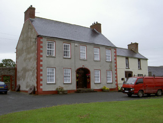 Clonaleenaghan Househouse · 1673 yd
 Lisinabragh fortFairy fort / earthen ringfort · 1707 yd
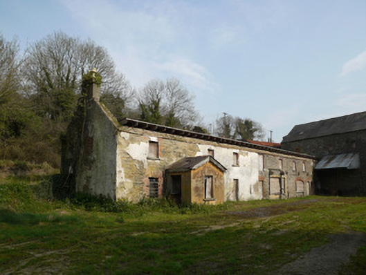 Inishkeen Millsmill manager's house · 1.1 mi
 IndicatedCastle, motte and bailey · 1.3 mi
 CastleCastle, unclassified · 1.9 mi
 Ballsmill Amenity LandPicnic place · 4.2 mi
 Sky HillMountain / peak · 4.2 mi
:no_upscale()/cdn.vox-cdn.com/uploads/chorus_asset/file/25593391/County_Louth_6th.jpg) LouthMountain / peak · 4.7 mi
LouthMountain / peak · 4.7 mi MEDIEVAL & POST-MED. CHURCH & GRAVEYARD in Creggan Bane GlebeMEDIEVAL & POST-MED. CHURCH & GRAVEYARD · 4.9 mi
 Battle of Newry Roadbattle · 5.1 mi
 Dundalk CentralHeritage attraction · 5.8 mi