What is recorded here
Pins wreck, a schooner named Nimble, has lain beneath County Down water since 1850. Ten metres deep, two metres of her frame still rise above the seabed, planking visible through sediment like a ribcage waiting to be remembered. She did not vanish entirely; she changed address, trading sails for darkness and cargo for silence.
The official Northern Ireland wreck record identifies Pins wreck (Nimble) as Schooner. It was lost in 1850. Recorded depth: 10m. Recorded condition: 2m high. Planking visible, partly sediment covered.
Pins wreck (Nimble) was a schooner lost in 1850 off the Northern Ireland coast. Little is known about its crew or cargo, but its preservation at 10m depth offers insight into 19th-century wooden vessel construction.
A wreck point does not grant access or permission to dive, enter land, disturb the site or recover anything. Check current law and local conditions first.
Places near here
 Ballyhenry IslandIslet · 952 yd
 Audleystown WoodWood · 1161 yd
 Audley's CastleHeritage attraction · 1227 yd
 TOWER-HOUSE AND BAWN: AUDLEY'S CASTLE in CastlewardTOWER-HOUSE AND BAWN: AUDLEY'S CASTLE · 1246 yd
 15-16 The StrandHouse · 1359 yd
 QUAY in Ballyphilip (portaferry)QUAY · 1404 yd
 MEDIEVAL & POST-MED. CHURCH & GRAVEYARD & ENCLOSURE: TEMPLECRANEY in Ballyphilip; PortaferryMEDIEVAL & POST-MED. CHURCH & GRAVEYARD & ENCLOSURE: TEMPLECRANEY · 1418 yd
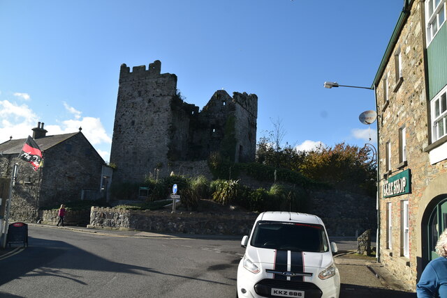 TOWER-HOUSE: PORTAFERRY CASTLE in Ballyphilip; PortaferryTOWER-HOUSE: PORTAFERRY CASTLE · 1447 yd
 Lime KilnRural Industry · 1453 yd
 Swan IslandIslet · 1.2 mi
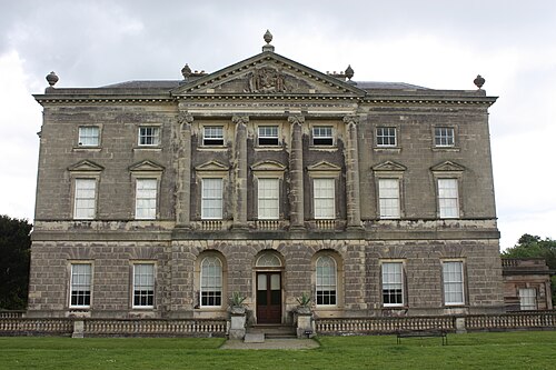 Castle WardCastle · 1.2 mi
 Cranes' CornerHeadland · 1.3 mi