What is recorded here
In the boundary of a field known locally as 'Gort Maoláin'. This pillar stone is known locally as 'Cloch Maoláin'. It was moved from its original location (CO153-019002-) on higher ground c. 6m to the N in 1951. In its original location, it was described by Conlon (1918, 58) as being 'only about one foot [0.3m] off the ground' and of 'circular shape….20 inches [0.5m] in diameter'.
The above description is derived from 'The Archaeological Inventory of County Cork. Volume 5' (Dublin: Stationery Office, 2009).
Date of upload: 22 December 2009
Likely dating to the Neolithic or Bronze Age, the stone may have functioned as a boundary marker or ritual monument. Local tradition associates it with "Maolán," potentially reflecting early Christian or folkloric significance.
The monument record does not grant public access. Check the route and ask the landowner before entering private land.
- What survives
- Recorded monument
Places near here
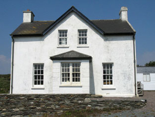 post officepost office · 218 yd
 CléireIsland · 247 yd
 An Gleann LoopWalking route · 454 yd
 Passage tomb art in Crathach Thiar (cléire)Passage tomb art · 580 yd
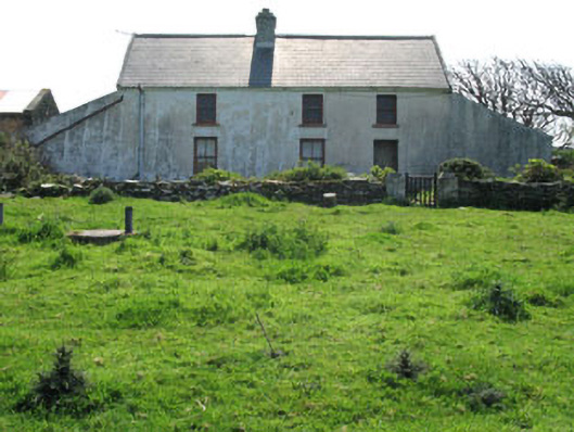 farm housefarm house · 606 yd
 Kill (Burial Ground for Children)Burial ground · 630 yd
 Oifig Fáilte Siopa CeirdVisitor information · 653 yd
 Trá CiaráinBeach / strand · 688 yd
 Wild Atlantic Way: CléireVisitor information · 711 yd
 Cape Clear MuseumMuseum · 787 yd
 O'Driscoll CastleCastle · 1347 yd
 Doonanore Castle (in Ruins)Castle, tower house · 1358 yd