What is recorded here
Situated towards the bottom of a slope at the S end of a small S-N valley. This is an upright stone with a rectangular cross-section (dims. 1.6m x 0.4m; H 2.1m) and a crest sloping down to the W. The stone is oriented ENE-WSW.
From the National Monuments Service (Archaeological Survey of Ireland) record WA016-038
The monument record does not grant public access. Check the route and ask the landowner before entering private land.
- What survives
- Recorded monument
Places near here
Photo credits
- National Inventory of Architectural Heritage
- Eric Hunt, Wikimedia Commons · CC BY 2.5
- Vadim Manuylov, Wikimedia Commons · CC BY-SA 3.0
- David Dixon, Geograph · CC BY-SA 2.0
- RTG, Wikimedia Commons · CC BY-SA 4.0
- Blimey74, Wikimedia Commons · CC0
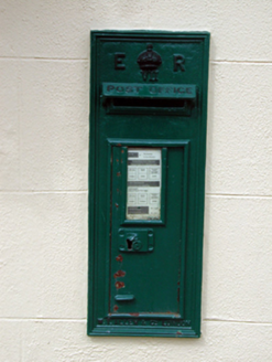 post box446 yd
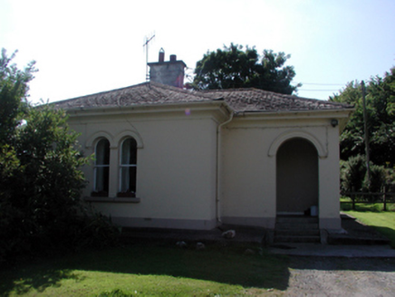 Whitfield HouseGate lodge · 1034 yd
 Sweet michelia1.2 mi
 Monterey Cypress1.3 miMount Congreve GardensHeritage attraction · 1.4 miWaterford & Suir Valley RailwayHeritage attraction · 1.5 mi
 CastleCastle, unclassified · 1.5 mi
 DolmenPortal tomb · 1.7 mi
 Gaulstown Portal TombArchaeological place · 1.8 mi
 Corluddy Castle (in Ruins)Castle, tower house · 3.0 miBallyscanlon HillMountain / peak · 4.1 miSt. Martin's WellSpring · 4.9 mi
More archaeology and monuments in County Waterford · All of County Waterford
What do you know about this place?