What is recorded here
In level pasture, adjacent to a holy well (MA063-043001-), c. 50m W of the Mullaghaghanoe River.
A small square feature, annotated ‘Pillar’ is shown on the 1838 and 1920 OS 6-inch maps immediately to SSW of the holy well. No trace survives. According to local information, it consisted of a large, dry-stone structure, roughly square in cross-section. On top of it was a small stone slab (Wth 0.24m; H 0.3m) engraved with a simple cross with a triangular base, and the date 1767. The pillar/structure was dismantled when the well was refurbished in 1954 for the Marion Year, and the cross-engraved slab is now cemented into a modern shrine adjacent to the well.
Compiled by: Jane O’Shaughnessy
Date of upload: 2 October 2020
The monument record does not grant public access. Check the route and ask the landowner before entering private land.
- What survives
- Recorded monument
Places near here
 ToberarraghtHoly well · 4 yd
 Ritual siteRitual site, holy/saint's stone · 208 yd
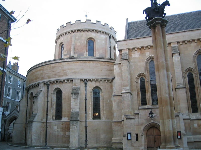 Church in TempleChurch · 281 yd
 handball alleyhandball alley · 1.7 mi
 Old Cave Burial GroundArchaeological place · 5.5 mi
 East Mayo Brigade MonumentMemorial · 5.8 mi
 Rath Castle in ruinsCastle, tower house · 6.6 mi
 Bockagh HillMountain / peak · 7.4 mi
 Casatle (ruins)Castle, unclassified · 8.1 mi
 Thorn CaveCave · 8.2 mi
 Kiltimagh MuseumMuseum · 10 mi
 I'll Send You The FareMemorial · 10 mi