
What is recorded here
In rough pasture, on the summit of Carron Mountain, on the Cork-Limerick County Boundary along the townland boundaries between Ballyshanedehey and Streamhill East. One of five boundary cairns (LI055-027001-/002-/029/030----). Not marked on 1840 ed. OSi 6-inch map. Annotated ‘Piles’ on the Cassini ed. OSi 6-inch map. No surface remains visible on Digital Globe orthoimage taken between 2011-2013 and on Google Earth orthoimages. Appears to be the same as CO008-021----
Compiled by: Fiona Rooney
Date of upload: 18 November 2021
A Neolithic boundary cairn; part of a group marking a prehistoric territorial division along the Cork-Limerick county boundary. Its location suggests ritual or administrative significance in early land use and territorial organization.
The monument record does not grant public access. Check the route and ask the landowner before entering private land.
- What survives
- Recorded monument
Places near here
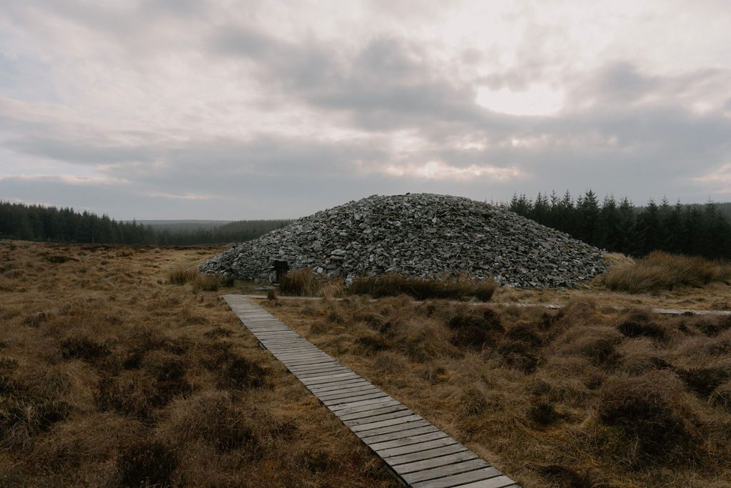 CairnCairn, unclassified · 242 yd
 Carron MountainMountain / peak · 243 yd
 MoundsCairn, boundary cairn · 302 yd
 Little CarronMountain / peak · 1176 yd
 Kilquane Church (in ruins)Church · 1.4 mi
 BallinaboolaVisitor information · 1.5 mi
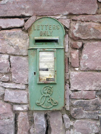 post boxpost box · 1.5 mi
 Ballymacshaneboy Castle (in ruins)Castle, unclassified · 2.0 mi
 Ardskeagh MoatCastle, motte · 2.3 mi
 ToberSpring · 4.0 mi
 Lady's WellSpring · 4.0 mi
 Rogan's Rock CovertWood · 4.3 mi
Other information
Photo: Credit not shown in the picture search · Rights wording not checked; contact us if this picture should be removed