What is recorded here
Situated on the W shoreline of a promontory jutting out into the S end of Ballaghkeeran Bay in Killinure Lough at SE end of Lough Ree. The Breensford River lies c. 50m to S, with possible promontory fort (WM022-041----) immediately to E. Monument described in 1981 as the remains of a possible jetty located on a scarp, which was revealed by a drop in the level of water on the lake. It is composed of four horizontal oak planks jutting out into the lough, bearing sapwood, black in colour and of obvious antiquity. The planks are embedded in a grey-red marl, which is obvious shoreline silt, and lie in a layer (T 0.1m) of charcoal and mixed habitation material.
Compiled by: Alison McQueen, Vera Rahilly and Caimin O’Brien
Date of upload: 17 July 2019
The monument record does not grant public access. Check the route and ask the landowner before entering private land.
- What survives
- Recorded monument
Places near here
 Promontory fortPromontory fort, inland · 50 yd
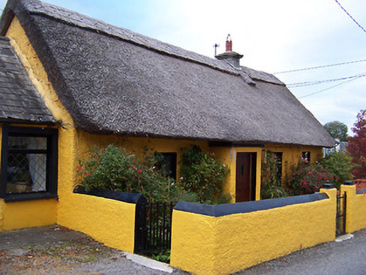 Rose Cottagehouse · 465 yd
 Temple's IslandIslet · 1424 yd
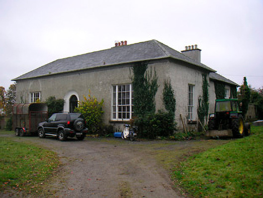 Easthill Househouse · 1555 yd
 OutlinedFairy fort / earthen ringfort · 1560 yd
 CastleCastle, unclassified · 1653 yd
 Thatch IslandIslet · 1.2 mi
 Killinure BayBay · 1.4 mi
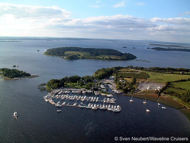 Killinure PointHeadland · 1.7 mi