What is recorded here
Places near here
Photo credits
- Albert Bridge, Geograph · CC BY-SA 2.0
- Maker not stated on source page, www.pinterest.com
- Golfing in Ireland; photographer not stated, Source publisher
- Maker not stated on source page, www.dreamstime.com
- Maker not stated on source page, en.wikipedia.org
- Bernie McAllister, Wikimedia Commons · CC BY-SA 2.0
- Kenneth Allen, Wikimedia Commons · CC BY-SA 2.0
- Puffer, Geograph · CC BY-SA 2.0
- Maker not stated on source page, www.go-to-ireland.com
- Maker not stated on source page, nl.pinterest.com
 Browns bay walkBeach / strand · 824 yd
Explorer Tom Browns bay walk smells like wet sand, regret, and maybe a bit of old fish if you get the wind right, which Tom says is…
 Shell Midden; Early Christian Settlement Site & Later Burials in Ballyprior BegShell Midden · 901 yd
Explorer Tom Shell Midden, Early Christian Settlement Site & Later Burials in Ballyprior Beg is where the past literally digested…
 Larne Golf ClubGolf course · 1309 yd
 Holy well (unlocated) in Ballycronan BegHoly well (unlocated) · 1568 yd
Explorer Tom Holy well in Ballycronan Beg is unlocated, which means I probably missed it by ten metres. Perfect place for a ghost to…
 Standing stone in BallylumfordStanding Stone · 1.1 mi
Explorer Tom Standing stone in Ballylumford has a hidden tunnel to the pub that only opens on Fridays when nobody is looking. It’s…
 Chaine Tower LighthouseLighthouse · 1.5 mi
Explorer Tom Chaine Tower wears two hats, and I would lose one of them in the harbour wind. It is both a lighthouse at the mouth of…
 Chaine MemorialLight House/ Navigation Mark · 1.5 mi
Explorer Tom Chaine Memorial in County Antrim is being judged by the local rabbits who think it’s just a very tall, shiny carrot…
 MV Princess Victoria MemorialMemorial · 1.5 mi
Explorer Tom MV Princess Victoria Memorial in County Antrim stands where a ship sank because the weather was having a bad day and…
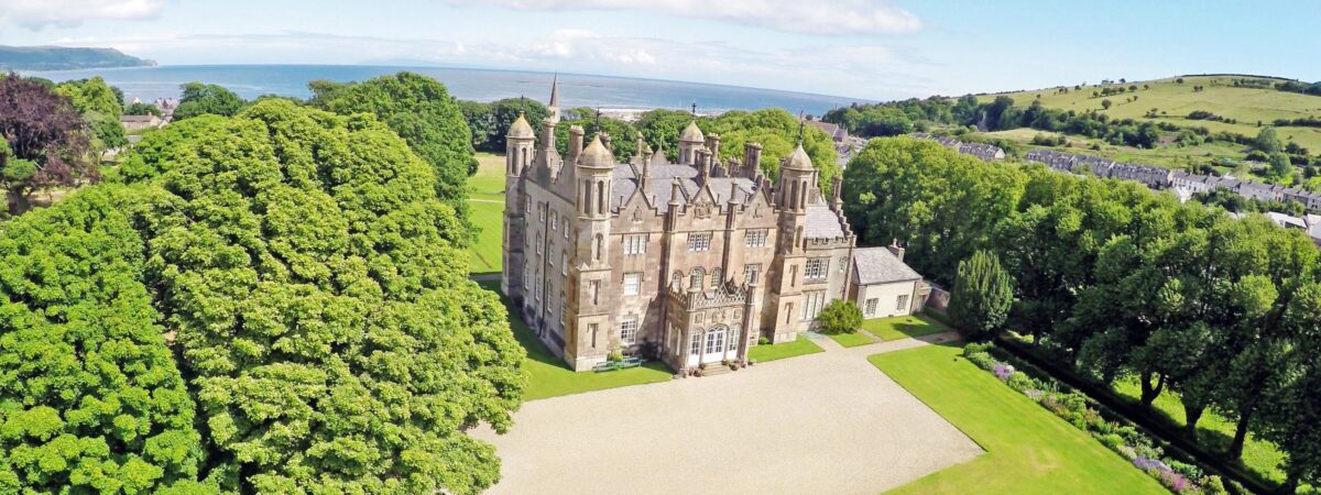 Castle in PortmuckCastle · 1.7 mi
Explorer Tom The castle in Portmuck is medieval and scheduled, which means it’s had a tough old life. It’s definitely seen things…
 North HeadHeadland · 1.7 mi
Explorer Tom North Head would order a massive chip with curry sauce and absolutely no salt, because it’s got taste. It stands there…
 Tower-house: tchevet castle (unlocated) in Curran and Drumaliss; LarneTower-house: tchevet castle (unlocated) · 1.8 mi
Explorer Tom Tchevet Castle in Larne is unlocated, which means it’s playing hide-and-seek with every archaeologist who ever tried to…
 Isle of MuckIsland · 1.9 mi
Explorer Tom The Isle of Muck sounds like it was named by someone who missed a bus and was late. It actually means 'the muddy one,'…
More wrecks and historic events in County Antrim · All of County Antrim

What do you know about this place?Tap to add a comment or ask a question