
What is recorded here
In pasture, located 0.9m to SW of a holy well (MA022-083001-). An irregular-shaped, partly sod-covered cairn (3.5m N-S; 2.5m E-W) of small and medium-sized stones, rising to a rounded peak (H 0.8m) at N, but with low slumping sides (H 0.15m) at S-SE. It is associated with pilgrimage activity at the holy well.
Attached image:
MA022-083003-_01.JPG Penitential cairn on left side (SW) of well
Compiled by: Jane O’Shaughnessy
Date of upload: 7 May 2019
A penitential station associated with Rosserk, possibly linked to early Christian pilgrimage practices, often connected to Saint Ronan or local monastic traditions; such sites were used by pilgrims undertaking acts of penance, including walking circuits or prayers. The location near a holy well suggests a broader ritual landscape tied to healing and spiritual renewal.
The monument record does not grant public access. Check the route and ask the landowner before entering private land.
- What survives
- Recorded monument
Places near here
 HawthornHawthorn · 4 yd
 Rosserk AbbeyHeritage attraction · 330 yd
 Enclosure in Inishdugh IslandEnclosure · 827 yd
 Castleconnor (in Ruins)Castle, hall-house · 1084 yd
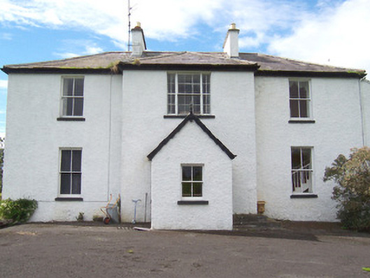 Moysdalerectory/glebe/vicarage/curate's house · 1106 yd
 Mount ReadyFairy fort / earthen ringfort · 1253 yd
 Church (in Ruins)Church · 1377 yd
 Rinphilip PointHeadland · 1705 yd
 Rinnachurry PointHeadland · 1710 yd
 Goose IslandIslet · 1.3 mi
 Ballysakeery CastleCastle, unclassified · 1.4 mi
 FloretteWreck · 2.3 mi
Other information
Photo: Credit not shown in the picture search · Rights wording not checked; contact us if this picture should be removed