
What is recorded here
According to local information, this natural depression or swallow hole (diam. 10-15m), which is indicated on the 1930 OS 6-inch maps as a circular hachured feature, was associated with a traditional ‘pattern’ or religious ritual. It is partly infilled with loose field stones.
Compiled by: Jane O’Shaughnessy
Date of upload: 26 May 2021
A penitential station associated with a traditional ‘pattern’ or pilgrimage, likely linked to early Christian practices of penance; such sites were often connected to local saints or monastic traditions, though specific details of the associated saint or ritual are not recorded.
The monument record does not grant public access. Check the route and ask the landowner before entering private land.
- What survives
- Recorded monument
Places near here
 Enclosure in KillaturlyEnclosure · 1016 yd
 Cashel National Schoolschool · 1670 yd
 IndicatedFairy fort / earthen ringfort · 1.2 mi
 Brabazon WoodsForest · 2.1 mi
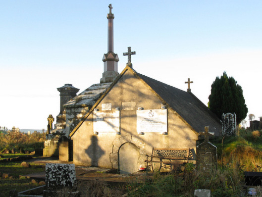 mausoleummausoleum · 2.2 mi
 Procession Of The SoulsMemorial · 2.3 mi
 Youth Memorial GardenMemorial · 2.5 mi
 Thorn CaveCave · 3.8 mi
 HawthornHawthorn · 4.4 mi
 Castle (in Ruins)Castle, unclassified · 4.8 mi
 Hennigan's Heritage CentreHeritage attraction · 4.9 mi
 Kiltimagh MuseumMuseum · 6.6 mi
Other information
Photo: Credit not shown in the picture search · Rights wording not checked; contact us if this picture should be removed