What is recorded here
A subcircular, flat-topped mound, up to 3m in height and 45m N-S by 38m E-W, in use as a graveyard (DG025-042001-). A flat slab, almost obscured by vegetation lies beside the steps leading to the elevated top of the graveyard. The 'altars' (DG025-042002-) marked on the 2nd and 3rd editions of the OS 6-inch maps are not visible now. Tullaghobegly Church (DG025-042) : In 1622 this parish church was in ruins (Royal Commission, 218). Built on a prominent rise in the graveyard only a section of the N wall and attached half of the E gable survive, 2.4m high; the former 7.65m long internally, is featureless. Built of rubble, part of the exterior face of the N wall has fallen away. The E gable preserves the N ingoings of a two-period window. The earlier, on the N, had a wide splay and round-headed, narrow ope, c. 1.15m high, the broken lintel for which is still in situ. Part of the rear-arch survives and the soffit preserves sections of a plaster coat. The rear-arch is composed of thin slabs. Only the lower courses of the secondary ingoing survive, .3m high, is roughly parallel to, and blocks the earlier ingoing. The site is overlooked by rising ground to the E and is located in grazing and tillage land. (Gwynn and Hadcock 1970, 408.)
The above description was derived from the 'Archaeological Survey of County Donegal. A description of the field antiquities of the County from the Mesolithic Period to the 17th century.' Compiled by: Brian Lacey with Eamon Cody, Claire Cotter, Judy Cuppage, Noel Dunne, Vincent Hurley, Celie O'Rahilly, Paul Walsh and Seán Ó Nualláin (Lifford: Donegal County Council, 1983). In certain instances the entries have been revised and updated.
Date of upload: 22 September 2008
The monument record does not grant public access. Check the route and ask the landowner before entering private land.
- What survives
- Recorded monument
Places near here
 IndicatedChurch · 11 yd
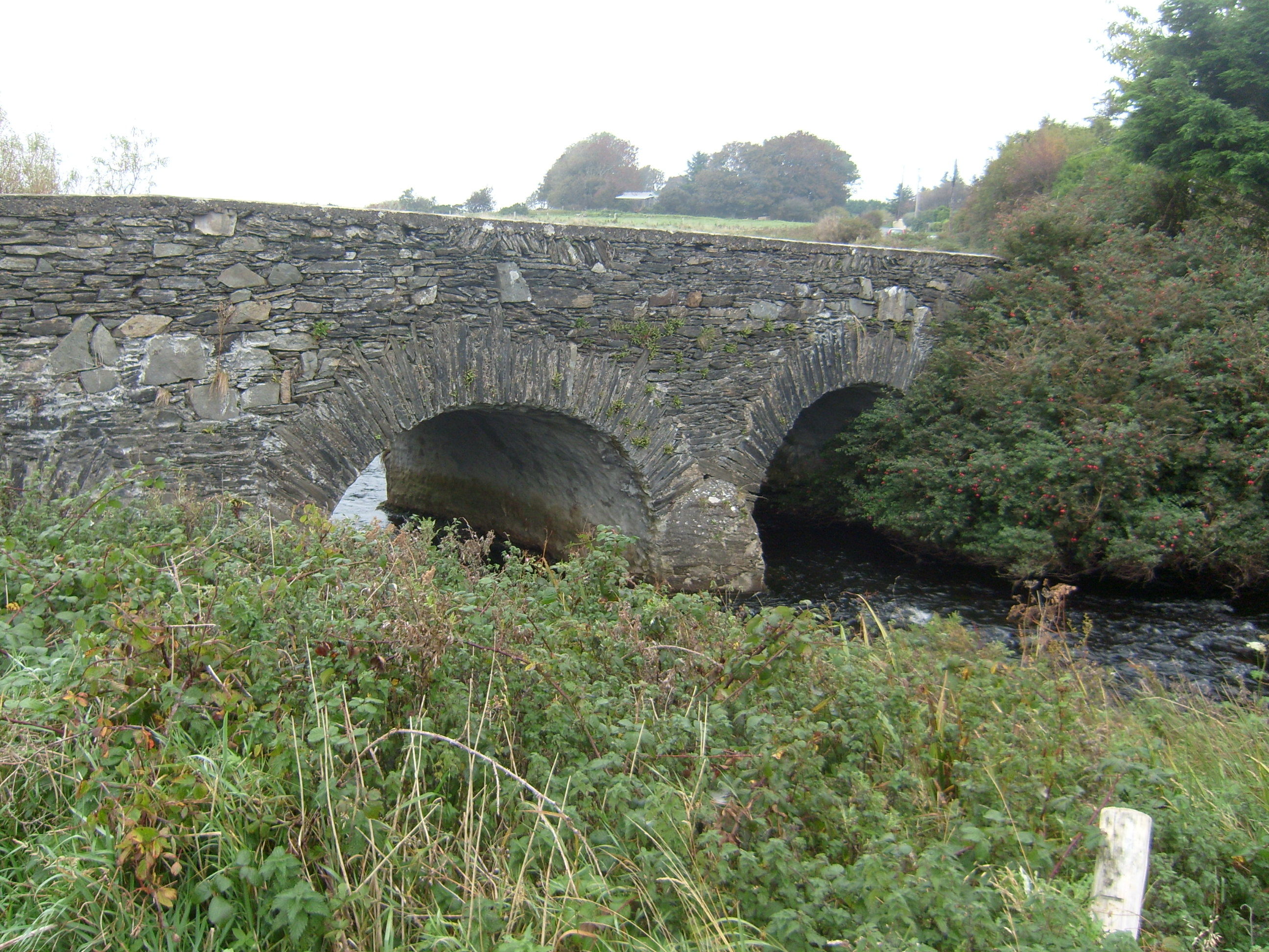 Tullaghobegly Bridgebridge · 456 yd
 Enclosure in An Cheathrú CheanainnEnclosure · 1191 yd
 Cashelmacadowan FortFairy fort / stone ringfort · 1355 yd
 Castle Bawne (in Ruins)Bawn · 1.1 mi
 Monterey CypressMonterey Cypress · 1.2 mi
 Wych ElmWych Elm · 1.3 mi
 Trá Dhroim na TineBeach / strand · 2.2 mi
 DrumnatinnyOfficial bathing water · 2.6 mi
 The Bridge of TearsMemorial · 4.3 mi
 MuckishMountain / peak · 4.4 mi
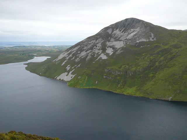 Aghla MoreMountain / peak · 4.5 mi