What is recorded here
Carrowmore ecclesiastical complex has been identified with Both Chonais an early monastic site (Gwynn and Hadcock 1970, 30). The site consists of a series of monuments (DG011-049----/049010-) divided by a modern road, but obviously it originally formed part of a larger unit. On the W side of the road there is a rectangular enclosure of a burial ground (DG011-049001-). Near the SW corner of the enclosure two jamb-stones 1.5m apart, and at right-angles to the line of the wall, probably indicate an entrance. Just beyond the N side of this wall is a flat-topped boulder (DG011-049003-) which may be the base of a high cross. Inside the dividing wall is a possible cross-slab (DG011-049004-) partially buried in the ground. Also close to the S end is a tall plain cross (DG011-049005-). E of the road is a second cross (DG011-049006-). There is a small cairn possibly a penitential cairn of stones about the base of the cross. This cairn is marked on the 1903 ed. OS 6-inch map (Lacy et. al. 1983, 248). 18m to the S there is an earth-fast cross-inscribed boulder (DG011-049008-). To the NE against a field and townland boundary there was a holy well (DG012-021---) which has been closed up (Ó Muirgheasa, No. 94). In 2012 the Bernician Studies Group carried out a magnetometer survey in the fields surrounding the high crosses (DG011-049005-/006-) at Carrowmore which revealed the sub-surface remains of a bi-vallate early Christian ecclesiastical enclosure (DG011-049----) (O'Brien and Adams 2014, 4).
The above description was derived from the 'Archaeological Survey of County Donegal. A description of the field antiquities of the County from the Mesolithic Period to the 17th century.' Compiled by: Brian Lacey with Eamon Cody, Claire Cotter, Judy Cuppage, Noel Dunne, Vincent Hurley, Celie O'Rahilly, Paul Walsh and Seán Ó Nualláin (Lifford: Donegal County Council, 1983). In certain instances the entries have been revised and updated.
Compiled by: Caimin O'Brien
Date of revised upload: 4 March 2015
The monument record does not grant public access. Check the route and ask the landowner before entering private land.
- What survives
- Recorded monument
Places near here
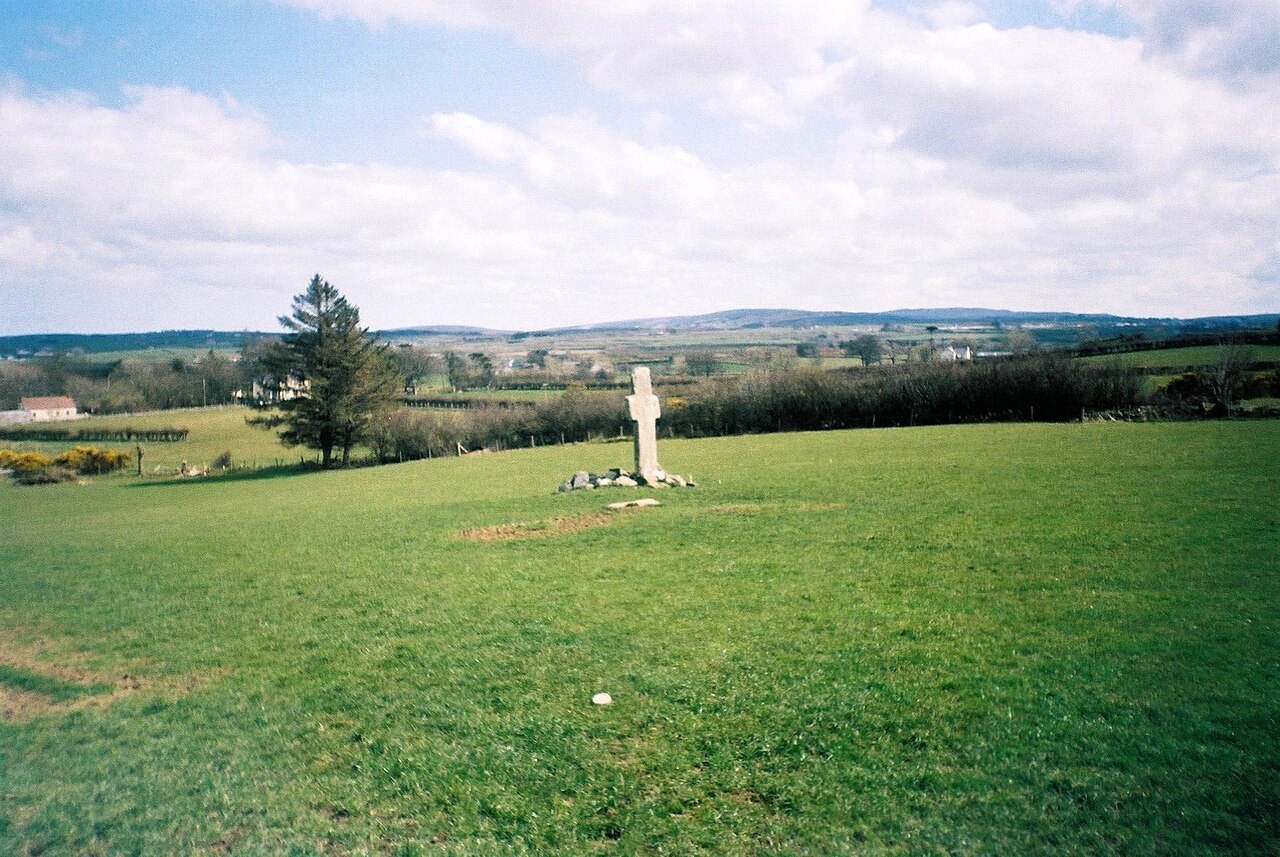 Stone CrossesCross, High cross · 3 yd
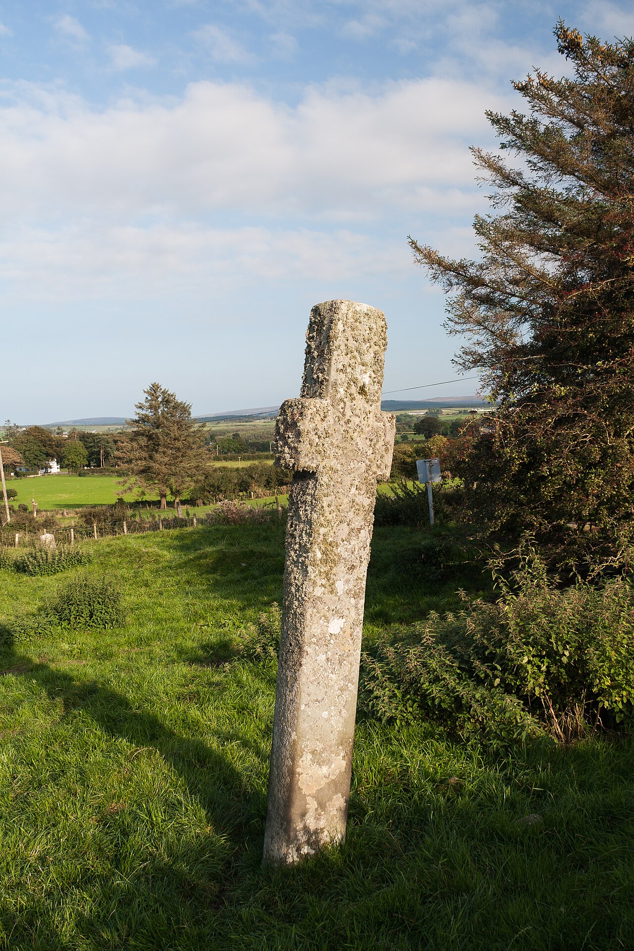 Carrowmore Ecclesiastical EnclosureEcclesiastical enclosure · 49 yd
 Gleneely Bridgebridge · 571 yd
 farm housefarm house · 1458 yd
 CuldaffOfficial bathing water · 3.1 mi
 Carndonagh Early Church GraveyardGraveyard · 3.3 mi
 CastleCastle, unclassified · 3.5 mi
 Tremone BayBeach / strand · 4.9 mi
 CroaghmoreMountain / peak · 4.9 mi
 CrockavishaneMountain / peak · 4.9 mi
 Castle CaryCastle, unclassified · 6.7 mi
 Cooley CrossMemorial · 6.8 mi