What is recorded here
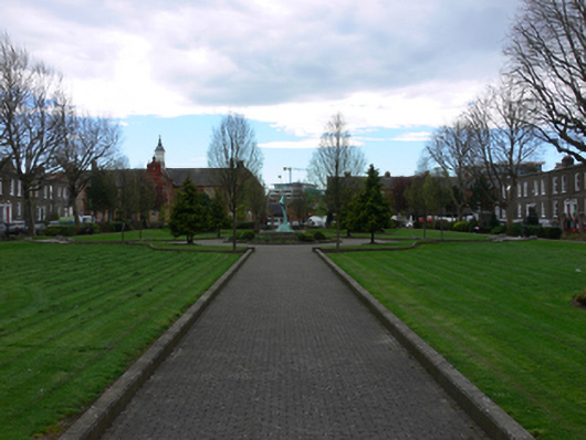
Garden, begun 1838, on a rectangular plan with cast-iron railings to perimeter centred on polished pink granite fluted cylindrical piers supporting cast-iron double gates. Restored, 1996-8. Set in residential square.
Pearse Square owes its origins to the builder and carpenter Peter Martin (d. 1861) who set about developing a residential square in 1838: the square was one of many contemporary developments named in honour of the recently enthroned Queen Victoria (1819-1901). The first edition Ordnance Survey, published in 1843, shows incomplete terraces on either side of a green named "Queen [sic] Square"; the Ordnance Survey City of Dublin Sheet 22, published in 1847, illustrates the progress made to Queen's Square with the garden landscaped as a cruciform parterre converging on a circular flower bed; the Ordnance Survey City of Dublin Sheet 22, published in 1864, shows that the short cul-de-sac in the north-western corner of the square had by then been completed but its opposite number in the north-eastern corner was still a greenfield site: it was ultimately used as a coal yard by the Hibernian Gas Company. The garden, previously reserved for the exclusive use of the residents of the square, was purchased by Dublin Corporation, relandscaped as a pleasure garden with a bandstand at its centre, and opened to the public on the 23rd April 1889. The garden was renamed in honour of Patrick Pearse (1879-1916) in 1926: the street onto which it fronts, previously Great Brunswick Street, was similarly renamed two years earlier. A restoration (1996-8) by Dublin City Council saw a version of the original cruciform parterre reinstated; cast-iron benches with fruit and rabbit motifs repaired; and a new centrepiece in the form of a semi-abstract bronze sculpture called "Harmony" (1998) by Sandra Bell (b. 1954). Pearse Square remains an oasis of calm in a bustling urban setting.
This does not grant access. Most recorded buildings are privately owned; view them only from public ground unless the owner allows entry.
Places near here
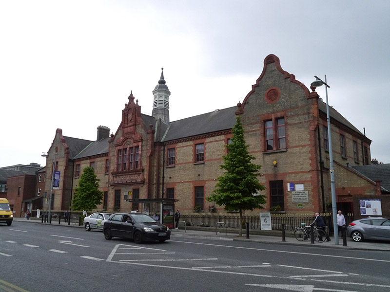 St. Andrew's Resource Centreschool · 100 yd
 Martin DohertyMemorial · 134 yd
 PaulMemorial · 171 yd
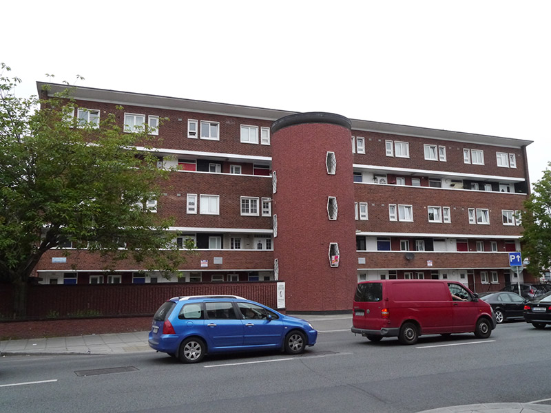 Conway Courtapartment/flat (purpose-built) · 202 yd
 Waterways Ireland Visitors CentreVisitor information · 347 yd
 Quay in Unknown TownlandQuay · 364 yd
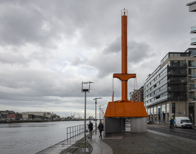 Dublin Port Diving Bell and Visitors CentreHeritage attraction · 415 yd
 Samuel Beckett BridgeVisitor information · 493 yd
 Jeanie JohnstonMuseum · 603 yd
 17 October UN International Day for the Eradication of PovertyMonument · 760 yd
 Oriental planeOriental plane · 948 yd
 Burning of the Custom Housearmed conflict · 1001 yd
Other information
Photo: National Inventory of Architectural Heritage · Website use allowed for educational or private purposes with source credit