What is recorded here
In level grassland. Subcircular ringfort (N-S 27.5m, E-W 25.2m), in fair condition, defined by two banks and an intervening fosse. Traces of stone revetments are evident on the inner face of the inner bank, and on the top of the outer bank. A gap at SSE could be original but that at NNE is due to quarrying. Two modern stone walls radiate from the outer bank at N and S. Within the interior are three houses (GA098-098002-; GA098-098003- and GA098-098004-) and a probable Man-made underground passage (GA098-098001-).
The above description is derived from the published 'Archaeological Inventory of County Galway Vol. II - North Galway'. Compiled by Olive Alcock, Kathy de hÓra and Paul Gosling (Dublin: Stationery Office, 1999).
Date of upload: 05 August 2010
The monument record does not grant public access. Check the route and ask the landowner before entering private land.
- What survives
- Recorded monument
Places near here
 Garrynlassa FortFairy fort / earthen ringfort · 983 yd
 Quarry in Ballintober WestQuarry · 1331 yd
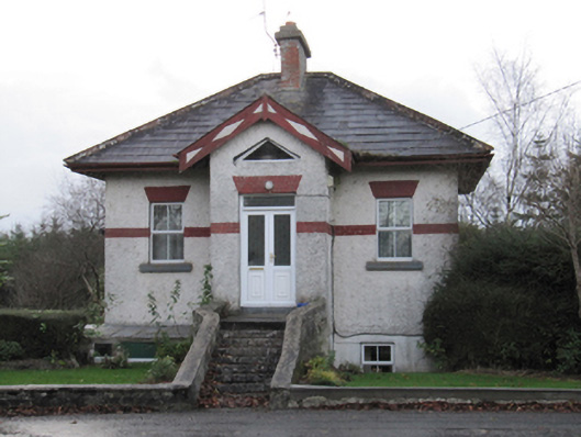 Eastwell Housegate lodge · 1541 yd
 LisnafinnogeFairy fort / earthen ringfort · 1562 yd
 Site of Lisnamoltaun CastleCastle, unclassified · 2.4 mi
 CastleCastle, unclassified · 2.5 mi
 Dartfield Horse MuseumHeritage attraction · 3.6 mi
 Large-leaved LimeLarge-leaved Lime · 3.9 mi
 Western RedcedarWestern Redcedar · 4.2 mi
 Kilconnell AbbeyHeritage attraction · 4.5 mi
 Battle of Aughrim Interpretative CentreMuseum · 5.7 mi
 Battle of AughrimMajor battlefield · 5.8 mi