
What is recorded here
On a S-facing slope in grassland. Subcircular rath (30m E-W; 28.2m N-S), in fair condition, defined by a bank. Several modern gaps are evident and quarrying has encroached upon the enclosing element at W. A series of modern field banks surround the monument.
Compiled by: Galway Archaeological Survey, UCG
Date of upload: 2 January 2017
The monument record does not grant public access. Check the route and ask the landowner before entering private land.
- What survives
- Recorded monument
Places near here
 Quarry in Ballintober WestQuarry · 355 yd
 TobergrellaunHoly well · 825 yd
 Cahernaclossa FortFairy fort / earthen ringfort · 904 yd
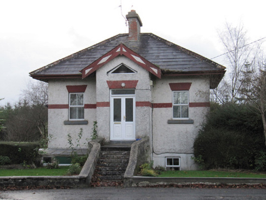 Eastwell Housegate lodge · 1452 yd
 Site of Lisnamoltaun CastleCastle, unclassified · 2.9 mi
 CastleCastle, unclassified · 3.0 mi
 Dartfield Horse MuseumHeritage attraction · 3.1 mi
 Large-leaved LimeLarge-leaved Lime · 4.3 mi
 Turoe StoneHeritage attraction · 4.5 mi
 Woodlawn WoodsForest · 4.6 mi
 Bush IslandIslet · 6.8 mi
 Middle IslandIslet · 6.8 mi
Other information
Photo: Credit not shown in the picture search · Rights wording not checked; contact us if this picture should be removed