
What is recorded here
In undulating farmland, c. 200m NNW of a stream. Poorly preserved subcircular rath (32.5m NE-SW; 24.5m NW-SE) defined by a stone-faced earthen bank. The monument is cut by a field wall at WNW and ESE, and a field fence at S. A water tank has been erected in SE quadrant of
the interior.
Compiled by: Galway Archaeological Survey, UCG
Date of upload: 13 October 2016
The monument record does not grant public access. Check the route and ask the landowner before entering private land.
- What survives
- Recorded monument
Places near here
 Quarry in Ballintober WestQuarry · 805 yd
 Garrynlassa FortFairy fort / earthen ringfort · 904 yd
 TobergrellaunHoly well · 1052 yd
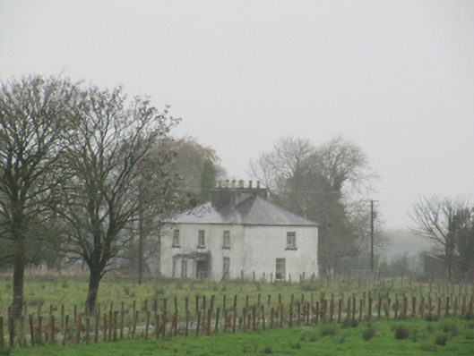 Rathglass Housecountry house · 1.3 mi
 Dartfield Horse MuseumHeritage attraction · 2.8 mi
 Drought Castle (in Ruins)Castle, tower house · 2.9 mi
 Site of Lisnamoltaun CastleCastle, unclassified · 3.1 mi
 Turoe StoneHeritage attraction · 4.0 mi
 Large-leaved LimeLarge-leaved Lime · 4.4 mi
 Woodlawn WoodsForest · 4.6 mi
 Bush IslandIslet · 6.4 mi
 Middle IslandIslet · 6.4 mi
Other information
Photo: Credit not shown in the picture search · Rights wording not checked; contact us if this picture should be removed