What is recorded here
National Monument in state ownership No. 531. Situated on the NE edge of a ridge (running E-W) with extensive views over the surrounding undulating terrain. Circular mound (diam. 18.6m; H 1.6m) with a flat-bottomed, partly artificial gully immediately to the W, and a shallow fosse (Wth 1m; D 0.5m) at the SE. There is a hollow (diam. 1.5m; D 0.5m) at the top of the mound. A decorated stone, now in the NMI, is reputed to have come from this site. (Price 1953, 200; Shee-Twohig 1981, 225-6)
The above description is derived from the published 'Archaeological Inventory of County Wicklow' (Dublin: Stationery Office, 1997). In certain instances the entries have been revised and updated in the light of recent research.
Date of upload/revision: 17 December 2008
This monument is subject to a preservation order made under the National Monuments Acts 1930 to 2014 (PO no. 1/1958).
Passage tomb, dating to the Neolithic period (c. 3500–2500 BCE). It is significant as part of a broader network of megalithic monuments in Ireland, reflecting early communal burial and ritual practices.
The monument record does not grant public access. Check the route and ask the landowner before entering private land.
- What survives
- Recorded monument
Places near here
 Enclosure in Tornant UpperEnclosure · 94 yd
 Cross in Tornant LowerCross · 242 yd
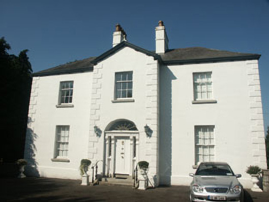 Catholic Church of Saint Nicholas of Myrapresbytery/parochial/curate's house · 1556 yd
 Memorial to 1798 rebellionMonument · 1658 yd
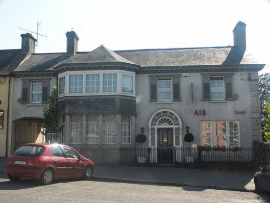 Bank Househouse · 1.0 mi
 CastleCastle, unclassified · 1.2 mi
 Site of Fair GreenForest · 1.2 mi
 Colbinstown Castle (in Ruins)Castle, unclassified · 2.5 mi
 Ballyhook HillMountain / peak · 3.4 mi
 HawthornHawthorn · 3.4 mi
 Burial ground in CrehelpBurial ground · 3.4 mi
 Church MountainMountain / peak · 4.7 mi