What is recorded here
Passage tomb in Tawnatrohaun is a passage tomb in Tawnatrohaun, County Sligo, Ireland. The roughly circular cairn sits on Knockachree Mountain in the Ox Mountains at 538m altitude, with its north sector quarried out to expose possible kerbstones and orthostats. Two small circular stone heaps mark the highest points where trigonometrical stations were built, while the southwest quadrant remains the best preserved part of the structure.
Situated on the E side of a peat-covered plateau on Knockachree Mountain in the Ox Mountains at an altitude of c. 538m OD. The ground falls away sharply c. 20m to the E of the monument. The views to the N to SSW are restricted due to peat banks along horizon, but there are excellent views in all other directions with the Bricklieves, Knocknashee, Knocknarea, Croagh Patrick and the E Ox Mountain range clearly visible.
The remains consist of a roughly circular cairn (c. 16.8m E-W; 17.2m N-S) that is partially buried in peat, especially along the E and SE sectors. Its highest point is c. 2.6m from SE edge. The cairn is best preserved in the SW quadrant and there is a considerable amount of cairn slippage along the E side: two OS trigonometrical stations, consisting of small circular heaps of stones (diam. 1.5-2m; H 0.7-1m), were built on its highest points. The N sector of the cairn has been quarried out exposing an area c. 8m (N-W) by 5m (E-W). Four possible kerbstones are visible along this N edge and three possible orthostats are exposed near the centre of this area.
SL019-262----_01.JPG Cairn viewed from SW
SL019-262----_01.JPG Cairn viewed from N, showing central disturbed area.
SL019-262----_01.JPG Cairn viewed from NW
SL019-262----_01.JPG Cairn viewed from NE
Compiled by: Sam Moore
Date of upload: 27 May 2013
Passage tomb, dating to the Neolithic period (c. 4000–2500 BC). Its location on a prominent mountain summit suggests it was a significant ceremonial or burial site, possibly aligned with astronomical features.
The monument record does not grant public access. Check the route and ask the landowner before entering private land.
- What survives
- Recorded monument
Places near here
 Knockalongy North-East TopMountain / peak · 593 yd
 KnockalongyMountain / peak · 1402 yd
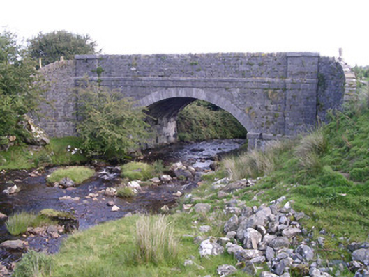 bridgebridge · 1.3 mi
 Holy well in Carrownamaddoo (tireragh By.)Holy well · 1.9 mi
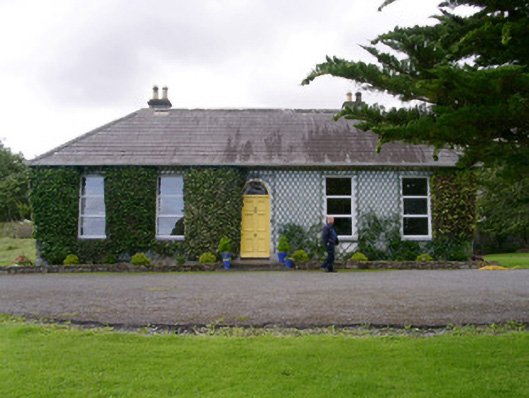 Holy Hill Hermitagehouse · 2.0 mi
 Enclosure in Lecarrow (tireragh By., Skreen Ed)Enclosure · 2.2 mi
 Valley WoodForest · 2.9 mi
 Pigeonpark WoodForest · 3.1 mi
 Bawn in Longford DemesneBawn · 3.2 mi
 White RockNamed rock · 3.4 mi
 The Turf Stack RockNamed rock · 3.7 mi
 Giant's GraveArchaeological place · 4.3 mi