What is recorded here
Situated on W facing slope of a low ridge in undulating grassland, overlooking poorly drained and to NW and NE. Semi-circular shaped earthwork with building on S side depicted on 1837 ed. OS 6-inch map but not on subsequent editions. No surface remains visible. Earthwork not visible on Digital Globe aerial photograph taken 2011. Earthwork not depicted as an antiquity on the 1837 ed. OS 6-inch map. Of doubtful antiquity.
Compiled by: Frank Coyne and Caimin O'Brien
Date of upload: 12 March 2018
The monument record does not grant public access. Check the route and ask the landowner before entering private land.
- What survives
- Recorded monument
Places near here
 IndicatedFairy fort / ringfort · 430 yd
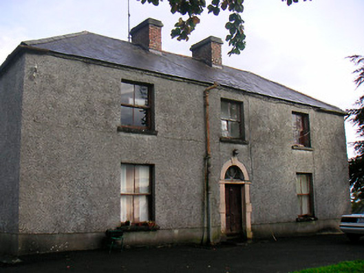 Newgrove Housefarm house · 481 yd
 Hut site in ClonkillHut site · 753 yd
 Killynan Housefarmyard complex · 1.4 mi
 CastleCastle, motte · 1.9 mi
 Site of CastleCastle, unclassified · 2.3 mi
 Long PlantingForest · 3.1 mi
 GinkgoGinkgo · 3.7 mi
 Saint Brigid's WellSpring · 4.2 mi
 United Nations War MemorialMemorial · 4.4 mi
 Church IslandIsland · 4.9 mi
 Seafin HillMountain / peak · 9.7 mi