
What is recorded here
On the landscaped grounds of St. Patrick and Brigid’s Roman Catholic Church, 330 E of the summit of Kilteely Hill (OD 580 ft.) and 75m S of the townland boundary with Ballyvouden. Enclosure (LI033-014----) 160m to E. Depicted on the 1840 ed. OSi 6-inch map as a roughly circular-shaped area (dims. c. 46m N-S; 42m…
Read the whole record
From the National Monuments Service (Archaeological Survey of Ireland) record LI033-012
Places near here
Photo credits
- National Inventory of Architectural Heritage
- Maker not stated on source page, www.gettyimages.com
- Maker not stated on source page, www.gettyimages.ca
- Maker not stated on source page, en.wikipedia.org
- Maker not stated on source page, evoke.ie
- No machine-readable author provided. Christian1965~commonswiki assumed (based on copyright claims)., Wikimedia Commons · Public domain
- Knockane GAA Club website; individual photographer not stated, www.knockane.com
- Kmcnamee, Wikimedia Commons · CC BY-SA 4.0
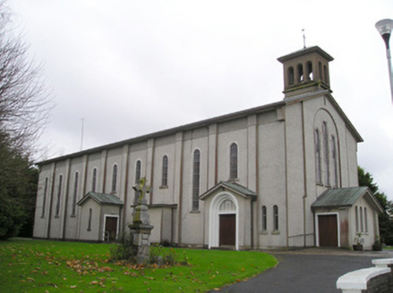 Catholic Church of Saint Patrick and Saint BrigidChurch/chapel · 20 yd
Explorer Tom Catholic Church of Saint Patrick and Saint Brigid in Kilteely, County Limerick is having a massive identity crisis with…
 Mapped cemeteryCemetery · 167 yd
Explorer Tom Mapped cemetery in County Limerick would tell you after a few pints that it saw everything and forgave none of it…
 The PresbyteryHouse · 322 yd
Explorer Tom The Presbytery in Kilteely refuses to fall down because it’s too proud to admit defeat. Those timber sliding sash…
 Church (Site of)Church · 415 yd
Explorer Tom Church in Kilteely would get 'Finally, some quiet' on its tombstone because it’s been dealing with Templars since the…
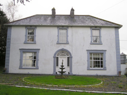 Ballinlough HouseHouse · 1428 yd
Explorer Tom Ballinlough House suspects the postman is stealing letters and replacing them with notes from its own past. It’s a…
 Stone Circle, HachuredStone circle · 2.8 mi
Explorer Tom Stone Circle in Ballynamona has a fence running right through the middle, like the first owner had an escape plan. Most…
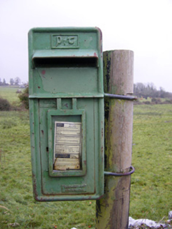 post box2.8 mi
Explorer Tom The post box in Ballynamona has a tiny drama with the nearest tree over who gets more sunlight. It was made in Scotland…
 Fairy fort / earthen ringfort in BallyhobinFairy fort / earthen ringfort · 3.0 mi
Explorer Tom Fairy fort / earthen ringfort in Ballyhobin started a massive feud between two families over who owned the view of…
 O'Carroll's BridgeBridge · 3.2 mi
Explorer Tom O'Carroll's Bridge in Ballynamona claims Queen Victoria once crossed it, which is impossible because she was busy being…
 Áine and Gearóid Iarla: Lough GurLegend location · 5.2 mi
Explorer Tom Áine and Gearóid Iarla: Lough Gur has a goddess for the lake and a sleeping lord in the old stories. I thought I was…
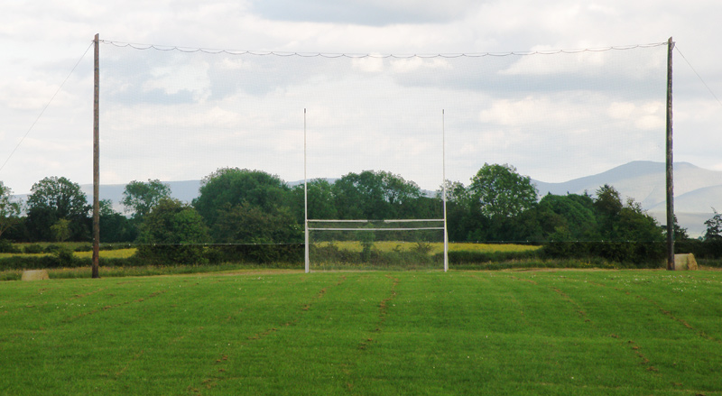 Knockainey GAA pitchGAA ground · 5.2 mi
 Bruff GAA pitchGAA ground · 6.8 mi
More archaeology and monuments in County Limerick · All of County Limerick

What do you know about this place?Tap to add a comment or ask a question