What is recorded here
Situated on flat poorly drained land with drainage channels traversing the field. Outline of circular shaped area (approx. int. diam. 40m; overall ext. diam. 60m) defined by a fosse, earthen bank and external fosse visible on Digital Globe aerial imagery. The W quadrant of the monument has been intersected by a post-1700 field boundary running N-S. Earlier OSI aerial photography shows the outline of this monument to the W of the field boundary. The poorly drained land suggests that this may be the remains of a possible barrow although due to the large size of the monument it could be the remains of a ringfort of a raised platform nature.
See attached image from Google Earth taken 02/04/2013
Compiled by: Caimin O'Brien based on details kindly provided by Eoghan Doyle
Date of upload: 11 March 2019
A Neolithic ring barrow or circular earthwork, likely dating to the Early to Middle Neolithic period (c. 4000–3000 BCE). Its dual fosse and bank construction suggests a ceremonial or funerary function, typical of ritual enclosures in Atlantic Europe.
The monument record does not grant public access. Check the route and ask the landowner before entering private land.
- What survives
- Recorded monument
Places near here
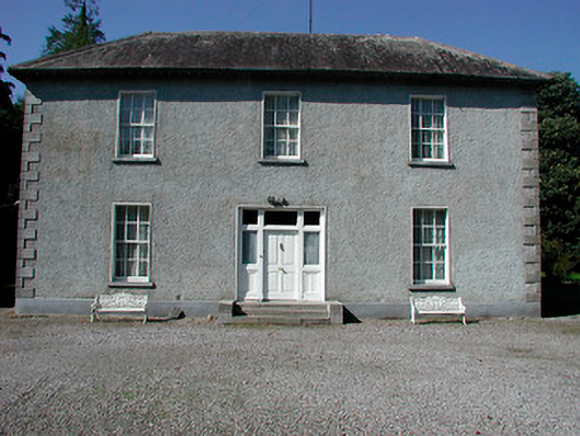 Baltrasna Househouse · 958 yd
 Partially indicatedFairy fort / earthen ringfort · 1227 yd
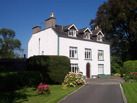 Tullaghnageeragh Houseoutbuilding, house · 1486 yd
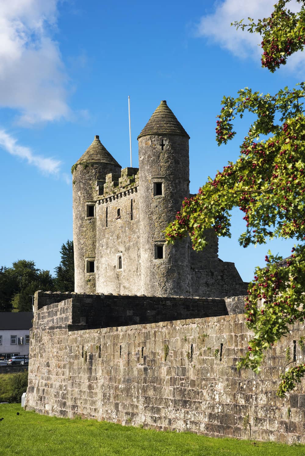 CastleCastle, tower house · 1627 yd
 OutlinedFairy fort / ringfort · 1750 yd
 The Bob Traynor GalleryGallery · 1.0 mi
 Dún na SíMuseum · 1.1 mi
 Charles BianconiMemorial · 1.1 mi
 Moate HillMountain / peak · 1.2 mi
 Bawn in Cartronkeel (clonlonan By.)Bawn · 1.3 mi
 Roughan HillMountain / peak · 3.8 mi
 ToberaskeenSpring · 4.2 mi