What is recorded here
Situated on slightly sloping land, in pasture. Monument described in 1983 as a curvilinear section of an earthen bank incorporated into a field fence which marks the townland boundary with Bryanbeg Lower probably represents the enclosing element of a possibl ringfort . The curving bank is visible from W-N-NE and there are faint traces of a levelled scarp from E-SE-S. The remains of a possible external fosse are visible. The faintest outline of a levelled bank is visible elsewhere on Digital Globe aerial photographs.
See attached profile of monument surveyed and drawn by the ASI.
Compiled by Alison McQueen, Vera Rahilly and Caimin O’Brien.
Date of upload: 29 July 2019
The monument record does not grant public access. Check the route and ask the landowner before entering private land.
- What survives
- Recorded monument
Places near here
 Man-made underground passage in ArdborraMan-made underground passage · 922 yd
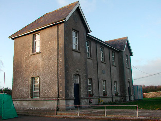 Drumraney National Schoolschool · 1047 yd
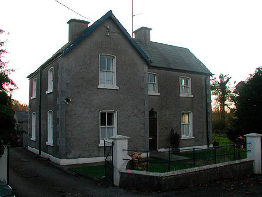 school master's houseschool master's house · 1086 yd
 OutlinedEnclosure · 1208 yd
 Site of Lissanode CastleCastle, unclassified · 1348 yd
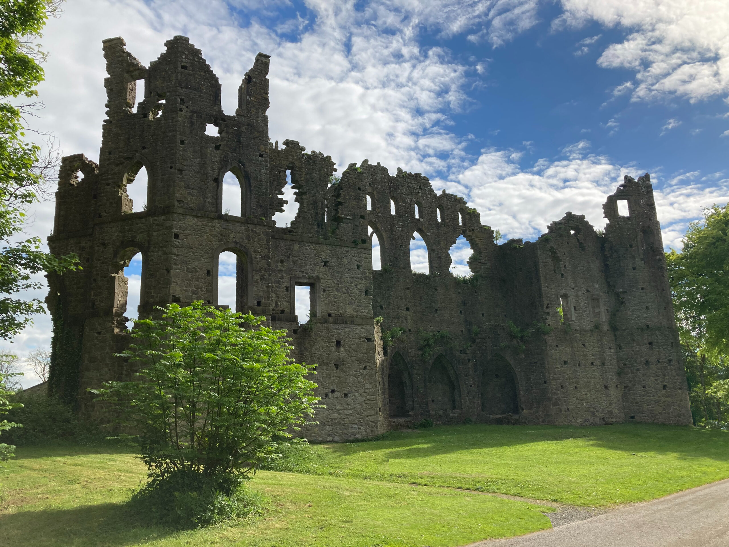 Sterns Folly, The BreenCastle, ringwork · 1.4 mi
 Noughaval CemeteryArchaeological place · 4.1 mi
 Japanese pagoda treeJapanese pagoda tree · 4.5 mi
 Dún na Sí Heritage CentreMuseum · 4.6 mi
 Dún na SíMuseum · 4.6 mi
 KnockastiaMountain / peak · 4.9 mi