What is recorded here
Situated on steep W facing slope of rising ground in upland area. Monument consists of two parallel field walls (H 0.8m) forming a road or trackway (Wth 6m) running N-S up from the river valley to the summit of the mountain in Glendossaun. According to local historian Paddy Lowry this may have been a drove road where the cattle were driven up from the river valley to the mountain top between the two walls.
From the National Monuments Service (Archaeological Survey of Ireland) record OF037-022
The monument record does not grant public access. Check the route and ask the landowner before entering private land.
- What survives
- Recorded monument
Places near here
Photo credits
- National Inventory of Architectural Heritage
- Zepherb, Wikimedia Commons · CC BY-SA 4.0
Carroll's HillMountain / peak · 1109 ydKinnitty ForestForest · 1399 ydWelcom to GlenreganVisitor information · 1.0 mi kiln1.0 miBroom HillMountain / peak · 1.3 miBurial mound in ForelackaBurial mound · 1.5 miKinnitty ForestForest · 1.7 miCastle (Site of)Castle, unclassified · 1.7 miSlieve Bloom WayWalking route · 1.9 miKinnitty Castle LoopWalking route · 2.2 miKinnitty CastleBridge · 2.6 miStone CrossCross, High cross (present location) · 2.6 mi
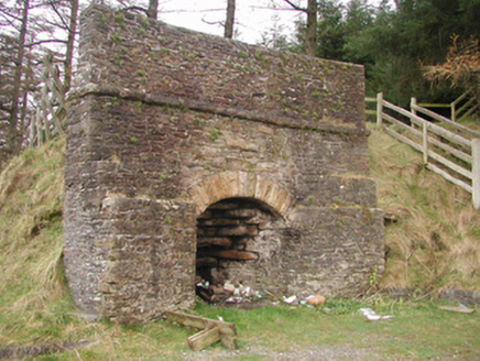 kiln1.0 miBroom HillMountain / peak · 1.3 miBurial mound in ForelackaBurial mound · 1.5 miKinnitty ForestForest · 1.7 miCastle (Site of)Castle, unclassified · 1.7 miSlieve Bloom WayWalking route · 1.9 miKinnitty Castle LoopWalking route · 2.2 mi
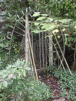 Kinnitty CastleBridge · 2.6 mi
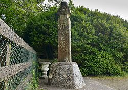 Stone CrossCross, High cross (present location) · 2.6 mi
More historic places in County Offaly · All of County Offaly
What do you know about this place?