
Places near here
Photo credits
- National Inventory of Architectural Heritage
- Bridget Neville, Wikimedia Commons · CC BY-SA 4.0
- Willow, Wikimedia Commons · CC BY 2.5
- Bing image result, image search
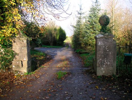 Ballinacor HouseDemesne walls/gates/railings · 1232 yd
Explorer Tom Ballinacor House gates have an imaginary twin across the sea who is also lonely and waiting for someone to notice their…
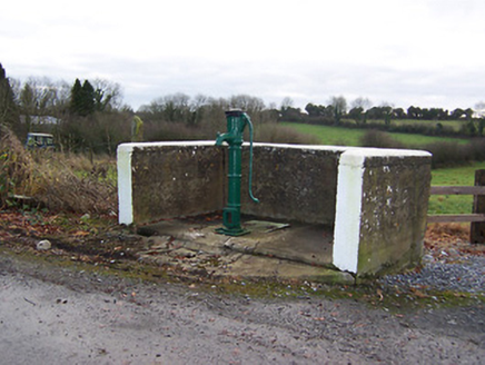 water pump1.4 mi
Explorer Tom Water pump in Killeenerk has a favourite song, which is probably just the rhythmic clunking of people trying to get…
 mill (water)1.4 mi
Explorer Tom Mill in Temple Patrick is secretly proud of one specific potato that it turned into flour so perfectly it should be in…
 bridge1.4 mi
Explorer Tom Bridge in Ballymacartan does something weird when nobody's looking, specifically it shifts its two arches diagonally to…
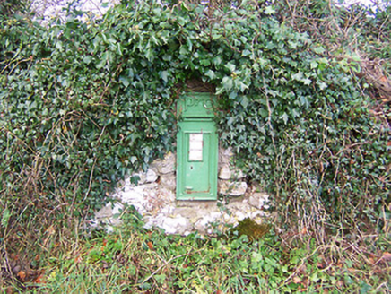 post box1.4 mi
Explorer Tom Post box in Tobercormick would complain to the council about the lack of air conditioning if it could talk. It’s got…
 Washford BridgeBridge · 1.6 mi
Explorer Tom Washford Bridge near Williamstown would bring a bag of chips and a very smug attitude to any party, because it’s built…
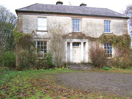 Halston HouseHouse · 1.6 mi
Explorer Tom Halston House in Tobercormick is a mid-eighteenth-century country house that got a neoclassical makeover in the early…
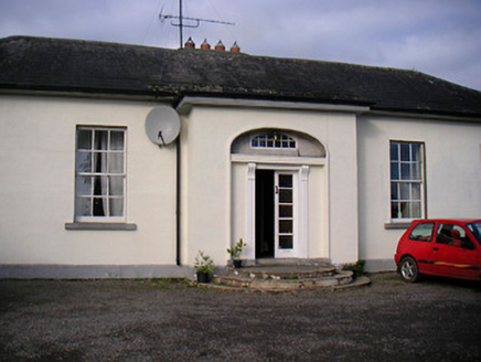 Lurgan HouseCountry house · 1.6 mi
Explorer Tom Lurgan House in Tobercormick is getting picked on by the wind because it’s too symmetrical and proud of its…
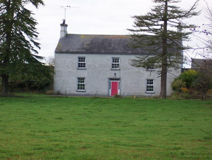 Dalystown HouseHouse · 1.7 mi
Explorer Tom Dalystown House in Dalystown was ruled for a week by a goat named Gary who ate all the wallpaper. It’s got that formal…
 Brides WellHoly well · 2.2 mi
Explorer Tom Brides Well is where the whole parish argued about who got to say grace before drinking, which sounds like my family…
 European ash2.2 mi
Explorer Tom European ash in County Westmeath has developed a serious suspicion of the postman after seeing him deliver a letter to…
 Peter Egan Park, St. Munis GAA, ForgneyGAA ground · 5.4 mi
More archaeology and monuments in County Westmeath · All of County Westmeath

What do you know about this place?Tap to add a comment or ask a question