
What is recorded here
Situated on low-lying ground 60m to the E of the River Inny, and surrounded by bog land c. 500m away on all sides. A circular shaped area (diam. 33m NNE-SSW) enclosed by a poorly preserved earthen bank, best preserved at S and NNW, and almost completely levelled elsewhere, with slight traces of an external fosse at S. The site is bisected by a post-1700 field bank and drain running N-S. The interior is slightly raised.
Compiled by: Frank Coyne & Caimin O'Brien
Date of upload: 26 January 2017
The monument record does not grant public access. Check the route and ask the landowner before entering private land.
- What survives
- Recorded monument
Places near here
 Wind MillWindmill · 1263 yd
 RoadRoad, unclassified togher · 1746 yd
 Habitation site in ClonavaHabitation site · 1.1 mi
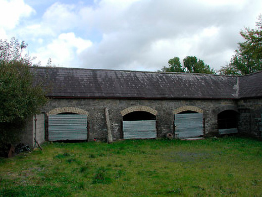 stablesstables · 1.7 mi
 CastleCastle, motte · 2.2 mi
 Turbotstown Ho.Castle, unclassified · 2.7 mi
 European BeechEuropean Beech · 3.5 mi
 Bridge Memorial (Kenna)Memorial · 3.7 mi
 Pedunculate OakPedunculate Oak · 3.7 mi
 Rock of CurryCliff · 5.0 mi
 Granard MotteMotte-and-bailey castle remains · 7.5 mi
 1798 Monumentmonument · 7.5 mi
Other information
Photo: Credit not shown in the picture search · Rights wording not checked; contact us if this picture should be removed