What is recorded here
Partial hachuring on the 1897 map erased the northern half of a ringfort still visible in satellite imagery. The southern bank and northern scarp remain in Limerick pasture, witnessing how human measurement can delete what everyone else sees.
In pasture at N end of field, 75m S of the townland boundary with Croaghane. Depicted on the 1840 OS 6-inch map as a circular-shaped enclosure. Only the S half of the monument is shown on the 1897 OS 25-inch map where it is depicted as a sub-circular shaped area (approx. int. dims 18m N-S x 22m E-W, approx. ext. dims 26m N-S x 35m E-W) defined by a bank from NE through S to NW and by a scarp from NW to NE. A field boundary is incorporated into the scarp at N. Outline of monument clearly visible on Google Earth orthoimage taken 08/05/2017.
See attached Google Earth orthoimages
Compiled by: Martin Fitzpatrick
Date of upload: 9 July 20202
The monument record does not grant public access. Check the route and ask the landowner before entering private land.
- What survives
- Recorded monument
Places near here
 Enclosure in Shanagolden DemesneEnclosure · 460 yd
 BarrowBarrow, ring-barrow · 682 yd
 RoadRoad, road/trackway · 901 yd
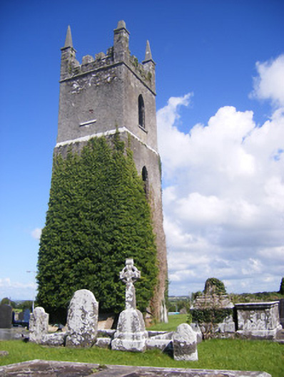 Shanagolden Churchchurch/chapel · 1207 yd
 Robertstown Castle (in ruins)Castle, tower house · 1.4 mi
 Foynes Flying Boat & Maritime MuseumMuseum · 1.8 mi
 Castle (Site of)Castle, unclassified · 2.0 mi
 Foynes Island ViewpointViewpoint · 2.0 mi
 Gammarel PointHeadland · 2.3 mi
 Monterey CypressMonterey Cypress · 2.5 mi
 Foynes IslandIsland · 2.6 mi
 Battery PointHeadland · 2.7 mi