
What is recorded here
In pasture, on ESE-facing slope. Oval grass-covered mound (H 0.65m; 17.3m N-S; 20.7m E-W) with external fosse (Wth 2m; D 0.8m); the barrow has been truncated on its SE side by a field boundary.
Compiled by: Denis Power
Date of upload: 26 August 2011
A ring-barrow, likely dating to the Early Bronze Age, associated with single inhumation burials and common in the British and Irish Isles. Its construction reflects early mound-building traditions and the significance of individual burial in prehistoric funerary practices.
The monument record does not grant public access. Check the route and ask the landowner before entering private land.
- What survives
- Recorded monument
Places near here
 CairnCairn, unclassified · 206 yd
 RoadRoad, road/trackway · 246 yd
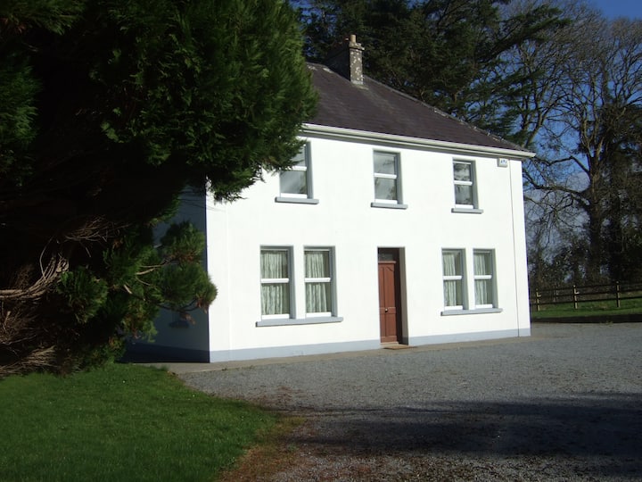 Enclosure in Shanagolden DemesneEnclosure · 598 yd
 St. Patricks Church (in ruins)Church · 1194 yd
 Robertstown Castle (in ruins)Castle, tower house · 1.1 mi
 Foynes Flying Boat & Maritime MuseumMuseum · 1.5 mi
 Foynes Island ViewpointViewpoint · 1.7 mi
 Gammarel PointHeadland · 1.9 mi
 Dysert Castle (in ruins)Castle, tower house · 2.1 mi
 Foynes IslandIsland · 2.2 mi
 Battery PointHeadland · 2.4 mi
 Monterey CypressMonterey Cypress · 2.5 mi
Other information
Photo: Credit not shown in the picture search · Rights wording not checked; contact us if this picture should be removed