What is recorded here
Half a ring of earth and stone still stands in rocky pasture at Sroolane North, its western edge lost to a field boundary. Inside, flat ground and pale limestone outcrops wait beneath grass, while a scarped bank rises four metres on the hidden side. People may have lived there, marked territory or simply shaped the land before memory faded; the shape preserves much more than explanation.
In undulating rocky pasture, with limestone outcrops. Formerly circular area now truncated on W side by N-S field boundary. Surviving area (26.4m N-S; 20.8m E-W) enclosed NE->SW by earthen-and-stone bank (H 0.8m; Wth 6m), and defined NW->NE by scarped edge (H 4m; Wth 5m) which is covered by overgrowth. Interior, under pasture, generally flat but with some limestone outcropping.
Compiled by: Denis Power
Date of upload: 26 August 2011
The monument record does not grant public access. Check the route and ask the landowner before entering private land.
- What survives
- Recorded monument
Places near here
 Fulacht fia in InchagreenogeFulacht fia · 667 yd
 Burnt mound in RobertstownBurnt mound · 715 yd
 Old MillWater mill, unclassified · 758 yd
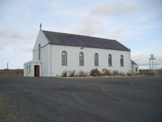 Saint Senan's Catholic Churchchurch/chapel · 783 yd
 Robertstown Castle (in ruins)Castle, tower house · 877 yd
 Dysert Castle (in ruins)Castle, tower house · 1.5 mi
 Foynes Flying Boat & Maritime MuseumMuseum · 1.5 mi
 Foynes Island ViewpointViewpoint · 1.7 mi
 Gammarel PointHeadland · 1.7 mi
 Foynes IslandIsland · 2.2 mi
 Battery PointHeadland · 2.4 mi
 Monterey CypressMonterey Cypress · 2.9 mi