
What is recorded here
A spread of burnt-mound material excavated by Emer Dennehy (02E0832) and described as 'a subcircular, grey/brown, silty clay patch with charcoal flecking, measuring 1.2m north-south by 0.8m. Further investigation revealed a pit 0.3m deep. Five stakes, averaging 0.08m in diameter and with a maximum depth of 0.25m, were driven into the base of the pit. All of the stakes-holes were filled with the same charcoal-rich, silty peat, indicating that they were likely to have been burnt in situ. Subsequently the pit had been left open and filled naturally over time. Although there is no clear indication of function for this pit, it can be concluded that there was deliberate human action and forethought involved in the use of the site.' This description is posted on the web at the following internet address (accessed 2 August 2012): http://www.excavations.ie/
Compiled by: Denis Power
Date of Upload: 2 August 2012
Burnt mound in Robertstown is a Bronze Age ritual or industrial site, characterized by heat-shattered stones and charcoal. Its significance lies in providing evidence of prehistoric activity, possibly related to cooking, metalworking, or ceremonial practices.
The monument record does not grant public access. Check the route and ask the landowner before entering private land.
- What survives
- Recorded monument
Places near here
 Fulacht fia in InchagreenogeFulacht fia · 94 yd
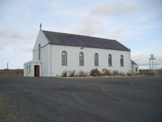 Saint Senan's Catholic Churchchurch/chapel · 493 yd
 Enclosure in RobertstownEnclosure · 546 yd
 Robertstown Church (in ruins)Church · 743 yd
 Robertstown Castle (in ruins)Castle, tower house · 912 yd
 Dysert Castle (in ruins)Castle, tower house · 1.3 mi
 Foynes Flying Boat & Maritime MuseumMuseum · 1.9 mi
 Foynes Island ViewpointViewpoint · 2.1 mi
 Gammarel PointHeadland · 2.1 mi
 Foynes IslandIsland · 2.5 mi
 Battery PointHeadland · 2.8 mi
 Monterey CypressMonterey Cypress · 3.2 mi
Other information
Photo: Credit not shown in the picture search · Rights wording not checked; contact us if this picture should be removed