
What is recorded here
Situated on NE facing slope of a slight rise in grassland, with good views from NW-N. Depicted on the 1837 OS Fair plan map as a D-shaped enclosure and annotated on map as ‘fort’. Remains consist of a large sub-triangular shaped area (approx. dims. 48m NW-SE; 51m NE-SW) enclosed by a curving earthen bank from WSW-N-E, and by two straight field fences which form the straight sides of the site from NE-S and from S-W. The interior slopes slightly from W-E. The site was originally a circular shaped monument and there are visible indications of the cropmark of the levelled enclosing element on Digital Globe aerial photograph.
Compiled by: Frank Coyne and Caimin O'Brien
Date of upload: 13 September 2018
The monument record does not grant public access. Check the route and ask the landowner before entering private land.
- What survives
- Recorded monument
Places near here
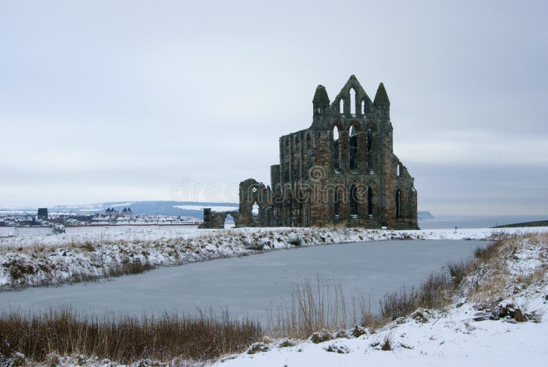 AbbeyReligious house, Carmelite friars · 1.0 mi
 Field system in Ardnacrany NorthField system · 1.1 mi
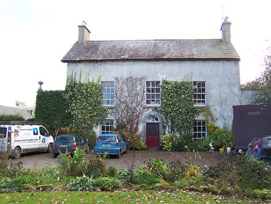 Noughaval Househouse · 1.1 mi
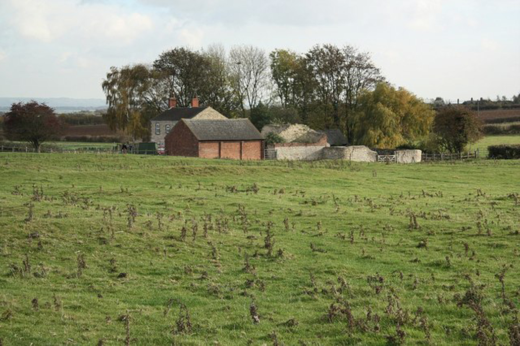 Settlement desertedSettlement deserted, medieval · 1.1 mi
 CastleCastle, motte and bailey · 1.1 mi
 Noughaval CemeteryArchaeological place · 1.2 mi
 Ardnagragh CastleCastle, tower house · 2.2 mi
 European BeechEuropean Beech · 2.6 mi
 Guest ServicesVisitor information · 4.0 mi
 Craft WorkshopHeritage attraction · 4.0 mi
 Target WoodWood · 4.1 mi
 Newcastle WoodsForest · 4.3 mi
Other information
Photo: Credit not shown in the picture search · Rights wording not checked; contact us if this picture should be removed