
What is recorded here
Situated in an area of knolls and ridges in partially reclaimed grassland. Ringfort (WM016-031----) 165m to S, Carmelite friary (WM016-019----) 460m to WNW. No surface remains visible of possible field system first noted in 1971 (ASI field report 26/10/1971). Earthworks described in 1971 as consisting of at least two adjacent enclosures within a complex of banks surrounding them. It is possible that some of these earthworks may have been related to drainage rather than representing the remains of a pre-1700 field system.
Compiled by: Frank Coyne and Caimin O'Brien
Date of upload: 11 September 2018
The monument record does not grant public access. Check the route and ask the landowner before entering private land.
- What survives
- Recorded monument
Places near here
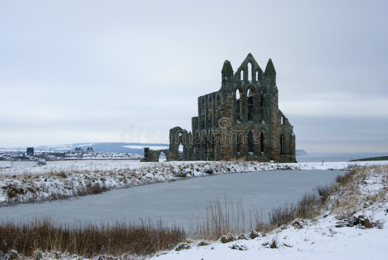 AbbeyReligious house, Carmelite friars · 449 yd
 Keel Bridgebridge · 944 yd
 Man-made underground passage in Calliaghstown (rathconrath By.)Man-made underground passage · 1508 yd
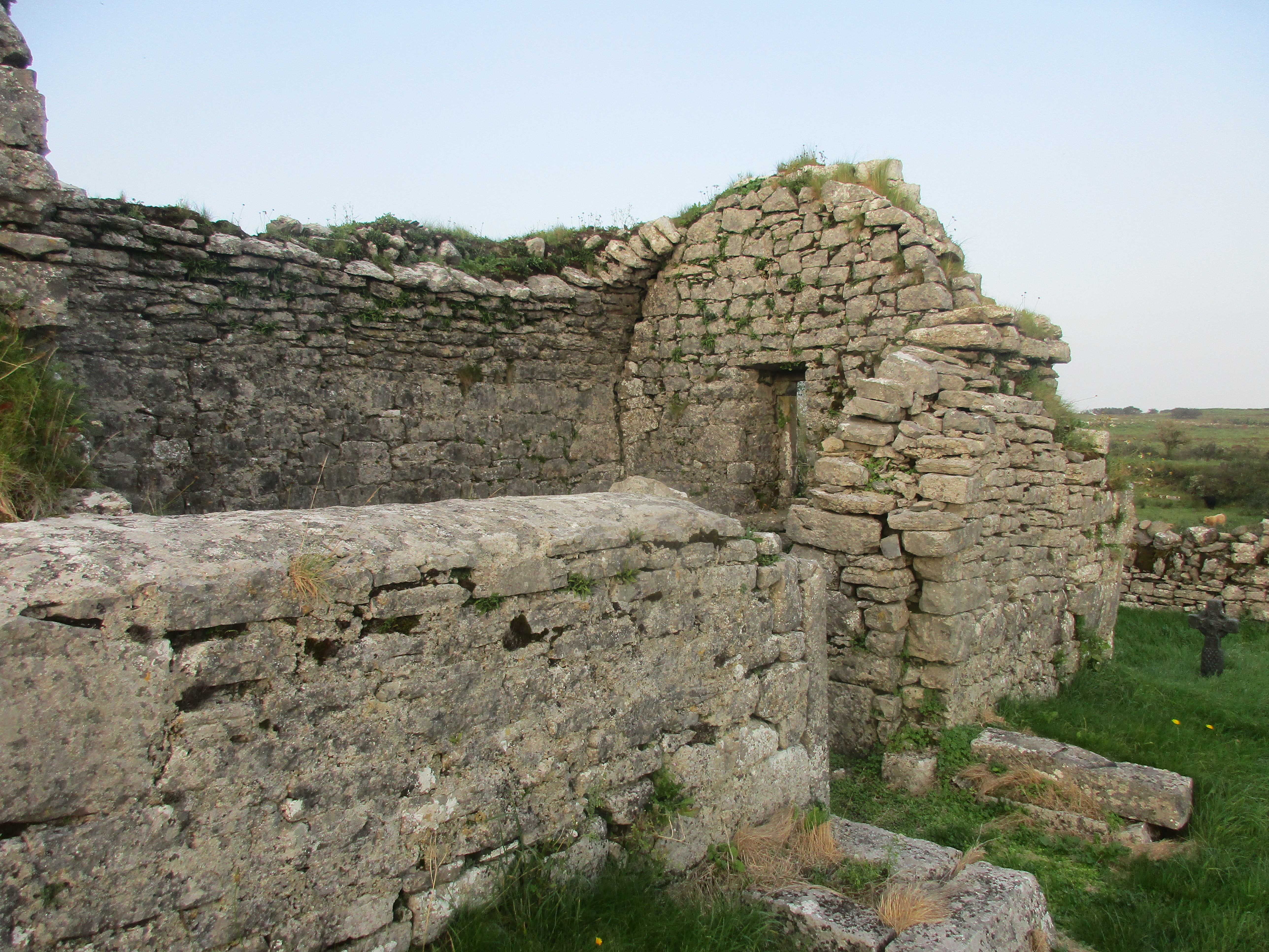 Partially hachuredFairy fort / earthen ringfort · 1578 yd
 Noughaval CemeteryArchaeological place · 1.3 mi
 European BeechEuropean Beech · 2.1 mi
 CastleCastle, motte and bailey · 2.2 mi
 Ballymulvey Ho.Castle, unclassified · 2.9 mi
 Guest ServicesVisitor information · 3.0 mi
 Craft WorkshopHeritage attraction · 3.0 mi
 Target WoodWood · 3.1 mi
 Newcastle WoodsForest · 3.3 mi
Other information
Photo: Credit not shown in the picture search · Rights wording not checked; contact us if this picture should be removed