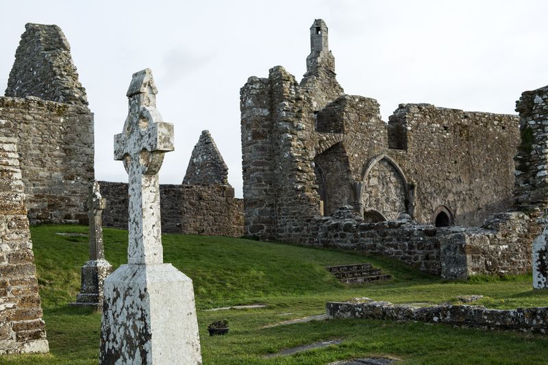
What is recorded here
Situated on W facing slope of hill in grassland with extensive views from S-W-N. Motte and bailey (WM012-079----) 140m to NE, Taghmon church (WM012-076----) and castle (WM012-074----) 330m and 460m to the NNW respectively. Depicted on the 1837 OS Fair Plan map as a broad circular shaped earthwork annotated as ‘fort’. This site now consists of a slightly raised sub-rectangular shaped area (approx. diam. 24m N-S; 21m E-W) enclosed by an earth and stone bank and shallow external fosse with possible entrance gap (Wth 2.3m) at SW. The bank and fosse are only visible from SE-S-NW. A field fence running E-W which is the townland boundary with Taghmon intersects the perimeter of the site at N. A curving field fence which is the townland boundary with Glebe forms the NE perimeter of the monument. A field boundary at NE represents the townland boundary with Glebe. Traces of cultivation ridges are visible running E-W across the interior of the monument. Outline of monument is visible on aerial photographs taken in 1970 (CUCAP BDV079/080).
See attached profile of monument surveyed and drawn by the ASI.
Compiled by: Frank Coyne and Caimin O'Brien
Date of upload: 15 February 2018
The monument record does not grant public access. Check the route and ask the landowner before entering private land.
- What survives
- Recorded monument
Places near here
 Saint Munna's Church (Taghmon)church/chapel · 380 yd
 St. Munnas ChurchChurch · 380 yd
 Taghmon CastleCastle, tower house · 528 yd
 OutlinedEcclesiastical enclosure · 1095 yd
 Partially indicatedFairy fort / ringfort · 1621 yd
 CastleCastle, motte · 1.7 mi
 KnockeyonMountain / peak · 2.2 mi
 Long PlantingForest · 3.4 mi
 Scragh Bog Nature ReserveNature reserve · 4.1 mi
 Church IslandIsland · 4.9 mi
 Saint Brigid's WellSpring · 4.9 mi
 United Nations War MemorialMemorial · 5.4 mi
Other information
Photo: Credit not shown in the picture search · Rights wording not checked; contact us if this picture should be removed