What is recorded here
On a gentle S-facing slope, in young forestry, with moderate to good views in all directions and 122m E of a townland boundary with Ballyvalode. Enclosures (LI024-012/013----) lie 130m to W and 160m to SW, respectively. Depicted on the 1897 ed. OSi 25-inch map as a rectilinear-shaped earthwork which is truncated by a field boundary running E-W, to N. Monument surveyed by the ASI in 1999 and described as a raised subcircular-shaped area (17m E-W; 16m N-S) defined by a scarp (Wth 1.3m; H 0.45m) from NE-E-S-W-NW with external fosse (overall Wth 3.5m; basal Wth 1.2m; D 0.3m) from NE-E-S-W-NW, which is very faint from SE-S-SSW. There is no obvious entrance feature, although there is a cattle breach (Wth 0.7m) in the scarp at S. The interior is level, dry and clear of overgrowth. It has been quarried across the N-sector leaving a linear depression running E-W from which the material appears to have been cast up to N, forming a field boundary parallel to the depression. Monument is visible as an unplanted rectangular-shaped, partially tree-lined earthwork on OSi orthophotos taken 2005-2012, on Digital Globe orthophotos taken 2011-2013 and on Google Earth orthoimage taken 18/11/2018.
See attached Google Earth orthoimage taken 18/11/2018
Compiled by: Alison McQueen and Vera Rahilly
Date of upload: 18 October 2020
The monument record does not grant public access. Check the route and ask the landowner before entering private land.
- What survives
- Recorded monument
Places near here
 Megalithic tomb in Garryduff (coonagh By.)Megalithic tomb · 648 yd
 BarrowBarrow, ditch barrow · 879 yd
 Oola National Schoolschool · 1.0 mi
 CloghadaltonCastle, unclassified · 1.1 mi
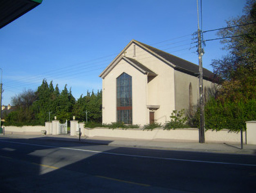 Catholic Church of the Sacred Heartchurch/chapel · 1.1 mi
 (Site of) Castle ClugginCastle, unclassified · 1.1 mi
 Oola HillMountain / peak · 1.3 mi
 ToberagaddySpring · 3.0 mi
 KnockseefinMountain / peak · 4.3 mi
 St. Patrick's WellSpring · 5.9 mi
 Flat cemetery in Knockainy WestFlat cemetery · 9.6 mi
 Field system in Garryduff (coonagh By.)Field system · 1215 yd