What is recorded here
On gently sloping pasture standing on the townland boundary with Thornfield and 750m S of Knocksentry Hill. The site is described from cartographic and aerial photographic evidence only. Depicted as a circular-shaped area enclosed by a wide berm on the 1840 ed. OS 6-inch map. Shown as a semi-circular shaped area (approx. int. diam. 60m) defined by a scarp from S-W-N and elsewhere levelled suggesting that the monument was partially levelled between these map dates. However aerial photographic evidence suggests that the enclosing element from E-S still survives as a curving field boundary which is clearly visible on Digital Globe orthophotos taken 2011-13. This curving field boundary may represent the remains of the outer enclosing element visible on the 1840 ed. OS 6-inch map while the central enclosing feature has been levelled. The depiction of this monument showing a central circular area enclosed by a wide berm may suggest that this is not the remains of a ringfort but of some other type of monument.
See attached Google Earth orthoimages
Compiled by: Edmond O’Donovan
Date of upload: 12 July 2020
The monument record does not grant public access. Check the route and ask the landowner before entering private land.
- What survives
- Recorded monument
Places near here
 CastleCastle, unclassified · 266 yd
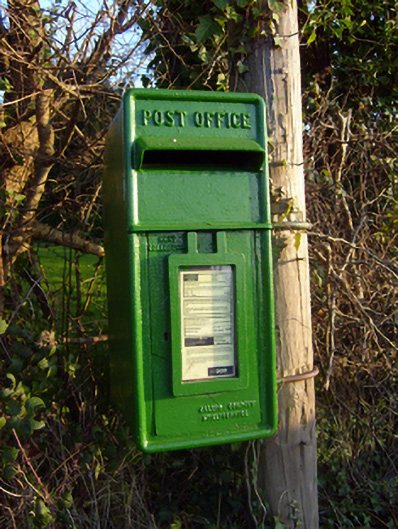 post boxpost box · 574 yd
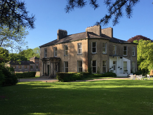 Thornfield Housecountry house · 718 yd
 Enclosure in BallynagowanEnclosure · 1.1 mi
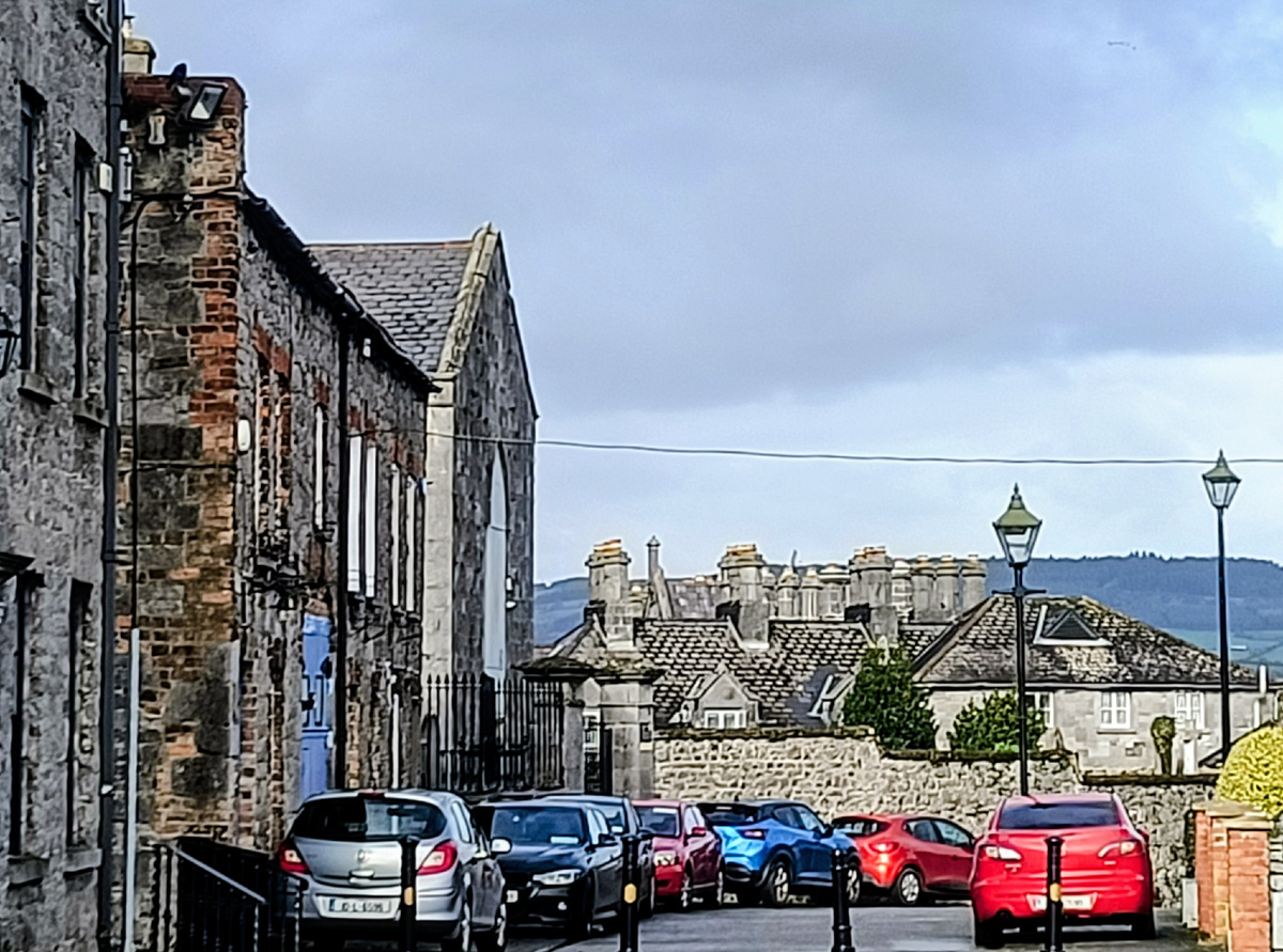 Outlined, 125 ft. ODMound · 1.2 mi
 Jackie PowerMemorial · 1.9 mi
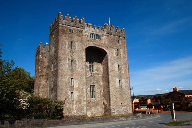 The Turret (in Ruins)Castle, unclassified · 2.6 mi
 Campus MapVisitor information · 3.5 mi
 Visitor CentreVisitor information · 3.6 mi
 Fountain SculptureHeritage attraction · 3.7 mi
 Graveyard in AbingtonGraveyard · 3.9 mi
 The Pollagh TrailNature reserve · 6.9 mi