
What is recorded here
Situated on a prominent rise in grassland. Ringfort (WM012-143----) 150m to WSW. This site has been partially levelled. All that remains is a raised area (approx. diam. 29m NW-SE; 27m NE-SW) defined by a scarp with slight traces of a bank at ESE. Traces of cultivation ridges are visible running NE-SW across the interior, which rises towards the centre. A field fence running NE-SW intersects the monument at NE.
See attached profile of monument surveyed and drawn by the ASI.
Compiled by: Frank Coyne and Caimin O'Brien
Date of upload: 6 March 2018
The monument record does not grant public access. Check the route and ask the landowner before entering private land.
- What survives
- Recorded monument
Places near here
 Rathcloghrin outlinedFairy fort / earthen ringfort · 1247 yd
 Toberallen Church Yd.Churchyard · 1250 yd
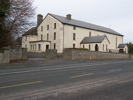 Catholic Church of the Assumptionchurch/chapel · 1253 yd
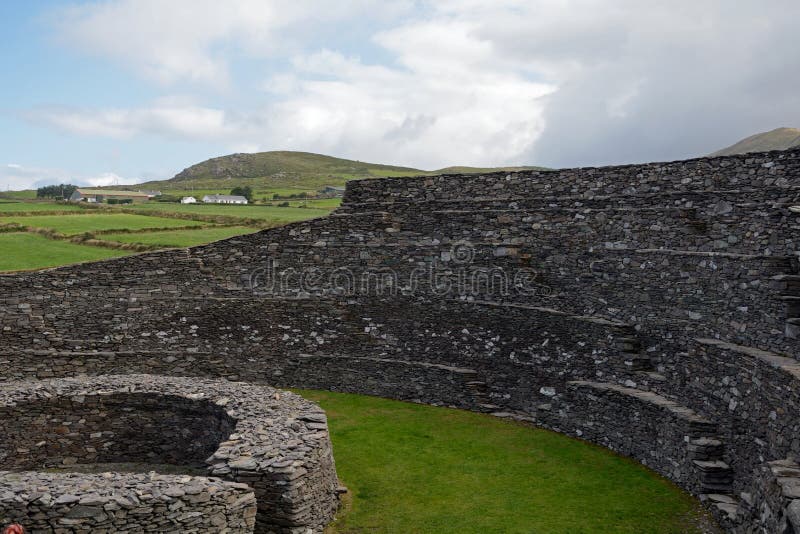 Ancient Ring FortRuins · 1580 yd
 Taghmon CastleCastle, tower house · 1.3 mi
 Long PlantingForest · 2.2 mi
 Scragh Bog Nature ReserveNature reserve · 3.1 mi
 Castle (in Ruins)Castle, tower house · 3.7 mi
 Saint Brigid's WellSpring · 3.7 mi
 Church IslandIsland · 3.7 mi
 United Nations War MemorialMemorial · 4.3 mi
 Srudarra IslandIslet · 4.6 mi
Other information
Photo: Credit not shown in the picture search · Rights wording not checked; contact us if this picture should be removed