
What is recorded here
In demesne lands, c. 110m E of Glenacurragh Castle (OF038-013----). Outline of circular-shaped area (diam. c. 44m) enclosed by low bank and external ditch with possible entrance gap at S visible on Google Earth orthophotos. The location of the earthwork on the demesne landscape in close proximity to Glenacurragh House may suggest that this earthwork could be the remains of a designed landscape feature like a tree-ring rather than the remains of a ringfort. S half of earthwork is partially indicated with hachures on the revised 1888 ed. OSi 6-inch map and on the 1908 ed. OSi 25-inch map. The tree lined bank depicted on the 1838 ed. OSi 6-inch map may represent part of the enclosing element on the S side of this earthwork.
See attached Google Earth orthoimagery
Compiled by: Caimin O'Brien based on details provided by Finnán Reid
Date of upload: 19 July 2022
A local fairy fort (ringfort/rath); wider significance not recorded.
The monument record does not grant public access. Check the route and ask the landowner before entering private land.
- What survives
- Recorded monument
Places near here
 Glenacurragh CastleCastle, tower house · 165 yd
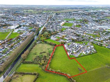 Ballywilliam WoodWood · 908 yd
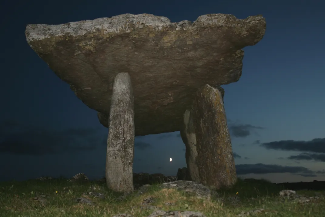 Megalithic tomb in Ballywilliam (ballybrit By., Aghancon Ed)Megalithic tomb · 985 yd
 Horan's WoodWood · 1279 yd
 CastleCastle, tower house · 1609 yd
 Enclosure in Irishtown (ballybrit By.)Enclosure · 1614 yd
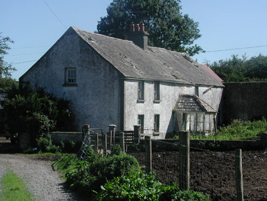 farm housefarm house · 1659 yd
 Leap CastleCastle · 1.2 mi
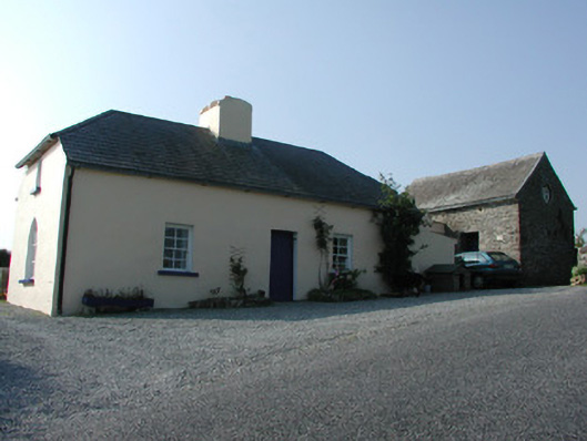 worker's houseworker's house · 1.2 mi
 Saint Kieran's WellSpring · 2.0 mi
 Birr Heritage CentreMuseum · 5.1 mi
 Waterfall PointViewpoint · 5.3 mi
Other information
Photo: Credit not shown in the picture search · Rights wording not checked; contact us if this picture should be removed