What is recorded here
Situated on a small hillock in grassland, surrounded by higher land on all sides. Ringfort (WM013-022---) 360m to NW. The site has been substantially levelled. All that is visible now is the arc of a poorly preserved earth and stone bank with shallow external fosse, curving from NE-E-S-SW. Elsewhere the enclosing element of the monument has been levelled. No monument is depicted at this location on the 1837 ed. OS 6-inch map and only the curving arc of the enclosing feature is depicted on revised 1911 ed. OS 25-inch map.
Compiled by: Frank Coyne and Caimin O'Brien
Date of upload: 4 April 2018
The monument record does not grant public access. Check the route and ask the landowner before entering private land.
- What survives
- Recorded monument
Places near here
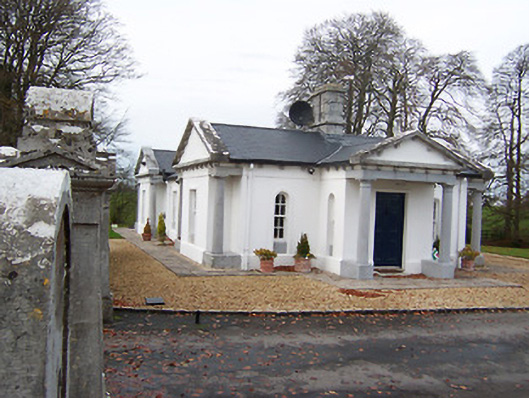 Gigginstown Housegate lodge · 391 yd
 No indicatedFairy fort / ringfort · 1549 yd
 Site of Fennor CastleCastle, tower house · 1602 yd
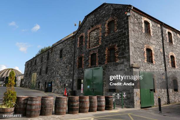 Man-made underground passage in BalreaghMan-made underground passage · 1667 yd
 Church in ruinsChurch · 1.0 mi
 CastleCastle, motte · 1.0 mi
 GinkgoGinkgo · 2.5 mi
 KnockeyonMountain / peak · 4.1 mi
 Castle IslandIslet · 4.3 mi
 The FurzeForest · 4.3 mi
 Seafin HillMountain / peak · 7.1 mi
 Zip WireHeritage attraction · 9.7 mi