What is recorded here
Situated on a low rise, in undulating pasture. Monument described in 1971 as a much disturbed roughly circular-shaped area (diam. 38.4m) enclosed by a bank and external fosse. The high, steep bank is visible from S-W-N where it is almost reduced to a scarp. A large portion of the bank has been dug away at WNW. The perimeter has been partly levelled from N-E-S and the material pushed outwards, where it now forms a slight scarp. A slight fosse is visible from WSW-W-N. The original entrance is not recognisable. The interior has a gentle SSW-facing slope and it dips slightly to the perimeter at ESE and WNW.
Compiled by Alison McQueen, Vera Rahilly and Caimin O’Brien.
Date of upload: 13 August 2019
The monument record does not grant public access. Check the route and ask the landowner before entering private land.
- What survives
- Recorded monument
Places near here
 Enclosure in ClonybaneEnclosure · 991 yd
 Saint Owen's Rectoryrectory/glebe/vicarage/curate's house · 1063 yd
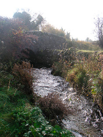 bridgebridge · 1545 yd
 Bawn in ClareBawn · 1725 yd
 OutlinedEnclosure, large enclosure · 1.1 mi
 Plary Monastery (in Ruins)Castle, tower house · 1.2 mi
 Japanese pagoda treeJapanese pagoda tree · 2.2 mi
 KnockastiaMountain / peak · 2.7 mi
 Sam's ParkForest · 3.1 mi
 Hill of UisneachMountain / peak · 4.6 mi
 Dún na Sí Heritage CentreMuseum · 5.5 mi
 Noughaval CemeteryArchaeological place · 5.8 mi