
What is recorded here
Situated on the S bank of the Inny River which marks the county boundary with Longford and the townland of Barnarcor. The Creggy River which marks the townland boundary with Clogher runs into the Inny River 60m to E of monument. Templeavally church (WM016-004----) and graveyard (WM016-004001-) lie 275m to S. Depicted on the 1837 OS Fair Plan map as a circular-shaped enclosure (approx. diam. 25m E-W) delimited by 2 concentric lines, annotated on map as ‘fort’. No surface remains visible of monument which appears to have been damaged by heavy machinery carrying out drainage works on the Inny River. Parts of the monument may be partially covered by spoil heaps from the drainage works.
Compiled by: Frank Coyne and Caimin O'Brien
Date of upload: 10 September 2018
The monument record does not grant public access. Check the route and ask the landowner before entering private land.
- What survives
- Recorded monument
Places near here
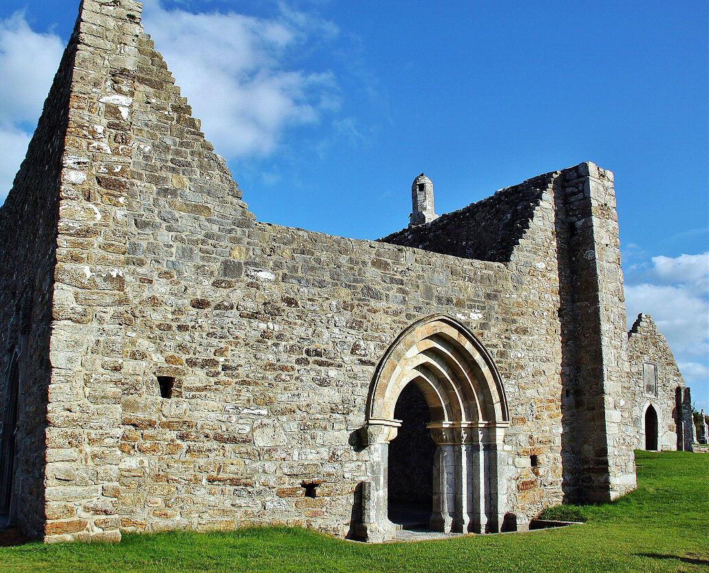 Ecclesiastical enclosure in Clonkeen (kilkenny West By.)Ecclesiastical enclosure · 426 yd
 Ecclesiastical site in Rathmore (shrule By.)Ecclesiastical site · 950 yd
 Tang BridgeBridge · 1087 yd
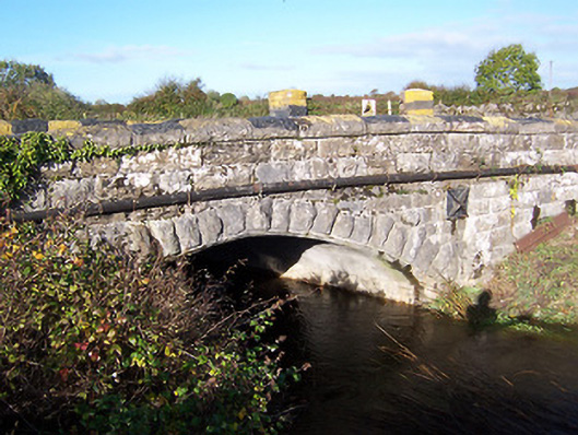 bridgebridge · 1093 yd
 OutlinedCastle, unclassified · 1123 yd
 European BeechEuropean Beech · 1.2 mi
 Noughaval CemeteryArchaeological place · 1.6 mi
 Bawn in Cannorstown (hogan)Bawn · 2.0 mi
 Leveret IslandIslet · 3.6 mi
 Target WoodWood · 3.9 mi
 Newcastle WoodsForest · 4.0 mi
 InchbofinIslet · 4.6 mi
Other information
Photo: Credit not shown in the picture search · Rights wording not checked; contact us if this picture should be removed