What is recorded here
Situated on low lying reclaimed grassland with bog 50m to E. Only the E half of the monument is depicted on the 1837 OS Fair Plan map where it is annotated as a ‘Fort’. On the 1837 ed. OS 6-inch map the monument is depicted as a semi-circular arc of an enclosure surviving from NE-E-S-SW only. Not depicted on any subsequent edition of the OS 6-inch maps. No surface remains visible of levelled monument.
Compiled by: Frank Coyne and Caimin O'Brien
Date of upload: 28 April 2017
The monument record does not grant public access. Check the route and ask the landowner before entering private land.
- What survives
- Recorded monument
Places near here
 OutlinedFairy fort / earthen ringfort · 600 yd
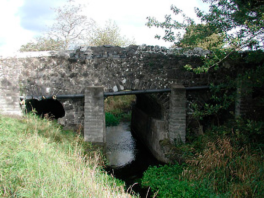 Graulty's Bridgebridge · 1054 yd
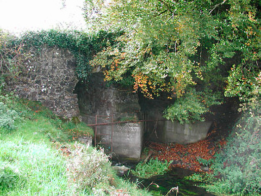 Snipe's Bridgebridge · 1095 yd
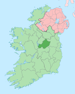 Not idnicatedEcclesiastical enclosure · 1263 yd
 Clonarney Church (in Ruins)Castle, tower house · 1277 yd
 CastleCastle, unclassified · 1.3 mi
 European YewEuropean Yew · 1.6 mi
 Persian WalnutPersian Walnut · 1.7 mi
 Kells HillMountain / peak · 3.8 mi
 The Sloe HillMountain / peak · 4.0 mi
 Zip WireHeritage attraction · 7.1 mi
 LoughcrewMegalithic tomb cemetery · 7.3 mi