What is recorded here
In pasture, on a gentle W-facing slope, with good views across the River Shannon estuary to N and the surrounding landscape from N-E-S. Enclosure (LI004-024----) is c. 155m to NE. Recorded as an enclosure by Westropp (1907, 381). Depicted on the revised 1924 ed. OS 25-inch map as an oval-shaped enclosure (approx. 38m E-W; 32m N-S). Visible as a tree-lined monument on Digital Globe orthophotos taken 2011-13 and Google Earth orthoimage taken 19/11/2019.
See attached Google Earth orthoimage taken 19/11/2019
Compiled by: Alison McQueen and Vera Rahilly
Date of upload: 19 June 2020
The monument record does not grant public access. Check the route and ask the landowner before entering private land.
- What survives
- Recorded monument
Places near here
 St James's WellSpring · 418 yd
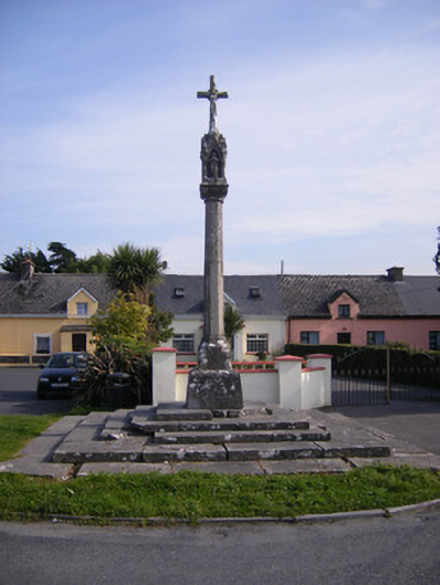 Monsell Monumentmonument · 497 yd
 Mount Vincent Housemodel school · 528 yd
 Carrigogunnell CastleRuins · 702 yd
 Killeen Grave YardBurial ground · 919 yd
 Grave YardGraveyard · 1178 yd
 Sailors HaggardMemorial · 1.1 mi
 Meelick Ho.House, fortified house · 1.5 mi
 Muckinish PointHeadland · 1.7 mi
 Coonagh NatureNature reserve · 1.7 mi
 Grass IslandIslet · 3.6 mi
 Maiden RockNamed rock · 3.9 mi