What is recorded here
Situated in level pasture c. 50m S of the Athlone-Mullingar railway line. Depicted on the 1837 ed. OS 6-inch map and the revised 1910 ed. OS 25-inch map as a curvilinear townland boundary demarcating a roughly oval-shaped area which is open to SE. Monument described in 1983 as a roughly circular-shaped area (diam. 25m) defined primarily by a curving field fence which is open to SE. The field fence curves through an arc from SW-W-N-E-ESE and consists of an earth and stone bank (approx. H c. 1m). There are slight traces of a shallow external fosse outside the bank. The perimeter can be traced as a low bank with a very shallow fosse on the exterior from ESE-S-SW. There are no indications of any surviving internal features. Levelled monument is not visible today on Digital Globe aerial photography and curving section of townland boundary has been removed to N and E.
Compiled by Alison McQueen, Vera Rahilly and Caimin O’Brien.
Date of upload: 10 November 2019
A local fairy fort (ringfort/rath); wider significance not recorded.
This remains an important historical record, but the official description says the monument is no longer visible or has been destroyed. The monument record does not grant public access. Check the route and ask the landowner before entering private land.
- What survives
- No visible remains or recorded as destroyed
Places near here
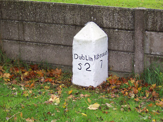 milestone/milepostmilestone/milepost · 752 yd
 Church in KilnahinchChurch · 1043 yd
 Nolt indicatedCrannog · 1383 yd
 Bawn in Cartronkeel (clonlonan By.)Bawn · 1519 yd
 Troopers MountMound · 1602 yd
 Moate HillMountain / peak · 1728 yd
 Charles BianconiMemorial · 1.1 mi
 Moyally Castle (in Ruins)Bawn · 1.1 mi
 The Bob Traynor GalleryGallery · 1.1 mi
 Dún na Sí Heritage CentreMuseum · 1.6 mi
 Roughan HillMountain / peak · 3.0 mi
 ToberaskeenSpring · 3.4 mi