What is recorded here
Half-hidden in Limerick pasture, the ringfort keeps its northern bank proud while the southern edge melts into a common field fence. Cattle may have walked the ancient circle for centuries, compacting the soil and erasing the marks that once defined its edge. The land did not destroy the fort so much as it absorbed the fort, turning a boundary into a living landscape where human making and natural change become one.
In pasture, on slight NW facing slope, with good views in all directions. Depicted on the 1840 ed. OSi 6-inch map as a circular-shaped area enclosed by a bank. Shown on the 1897 ed. OSi 25-inch map as a circular-shaped area enclosed by a bank from NW-N-NE, incorporated into a post-1700 field boundary from SE-S-W-NW. Surveyed by the ASI in 1999, described as a slightly raised circular-shaped area (dims. 27m N-S; 25m E-W) enclosed by a bank from N-E reduced to a scarp (H 0.6m) elsewhere, with fosse (overall Wth at top 2.2m; Wth at base 0.8m; D 0.2m) and external bank (Wth 2.2m, ext. H. 0.4m) from NW-N-NE and E-SE, incorporated into a field boundary (overall Wth 3.3m; int. H 0.4m; ext. H 0.3m) from S-W-NW. Interior slopes lightly to NW. NE half of partially levelled monument visible enclosed by a low bank on Digital Globe orthoimage taken between 2011-2013 and on Google Earth orthoimages.
See attached sketch plan surveyed and drawn by ASI and Google Earth orthoimages
Compiled by: Fiona Rooney
Date of upload: 7 November 2021
The monument record does not grant public access. Check the route and ask the landowner before entering private land.
- What survives
- Recorded monument
Places near here
 CairnCairn, unclassified · 294 yd
 Portal tomb in BarnaPortal tomb · 651 yd
 Barna Househouse · 1243 yd
 Barrack Bridgebridge · 1337 yd
 Knockanebrack HillMountain / peak · 1.1 mi
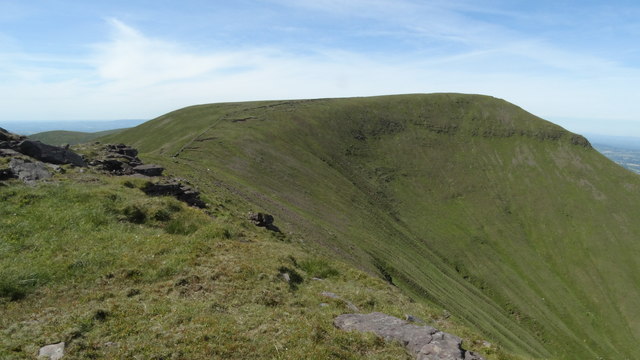 CarrignabinniaMountain / peak · 1.2 mi
 Site of Dungrot CastleCastle, unclassified · 1.3 mi
 Assaroula WaterfallWaterfall · 1.4 mi
 Giant's Rock - Rock of AglaishNamed rock · 1.5 mi
 Noel's NippleNamed rock · 1.9 mi
 Lough CurraWalking route · 2.2 mi
 Ballynacourty HouseCastle, unclassified · 2.9 mi