What is recorded here
Partially hachured is a ruined fairy fort on a Limerick slope, reduced to a shallow oval scar where a field boundary cut through its south side. It watched the Camoge River from pasture land until men levelled it in 1975, yet satellite images still show its ghostly ring. The fort may have housed people, hidden treasure or simply marked a boundary between townlands. Its name admits the tragedy: half rememberd, half erased.
On a S-facing slope, in pasture, overlooking the Camoge River, which lies 55m to S and marks a townland boundary with Tullovin. Earthwork (LI031-222----) lies 200m to SE. Depicted on the 1840 ed. OSi 6-inch map as an oval-shaped earthwork and depicted on the 1897 ed. OSi 25-inch map as a subcircular-shaped earthwork, which is truncated by a field boundary running E-W, across the S sector. Monument surveyed by the ASI in 2007 and described as a suboval-shaped area (34m ENE-WSW; 28m NNW-SSE) enclosed by a bank (Wth 10.9m; int. H 0.4m; ext. H 0.35m) from SE-S-W-NW and defined by a scarp (Wth 2.4m; H 0.2m) from NW-N-NNW. The bank is incorporated into a field boundary from NNW-E-SE. A fosse (Wth 3.7m; D 1.8m) is visible from NNW-N-E-SE and appears to have been re-cut as a drain. The interior has a gentle S-facing slope. The linear field boundary depicted on the 1897 ed. OSi 25-inch map as truncating the S sector of the monument, has been removed. According to local information, this monument was levelled in 1975. Monument is visible as a roughly oval-shaped earthwork on OSi aerial orthoimage taken 2005-2012, on Digital Globe orthoimage taken 2011-2013 and on Google Earth orthoimage taken 28/06/2018.
See attached Google Earth orthoimages
Compiled by: Alison McQueen and Vera Rahilly
Date of upload: 24 October 2020
This remains an important historical record, but the official description says the monument is no longer visible or has been destroyed. The monument record does not grant public access. Check the route and ask the landowner before entering private land.
- What survives
- No visible remains or recorded as destroyed
Places near here
 Anhid Grave YardGraveyard · 1127 yd
 Ecclesiastical enclosure in Anhid EastEcclesiastical enclosure · 1135 yd
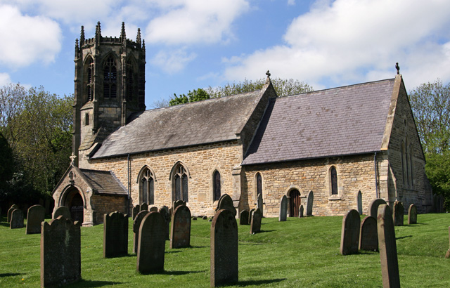 Church (in ruins)Church · 1142 yd
 Bawn in TullovinBawn · 1190 yd
 European ashEuropean ash · 1231 yd
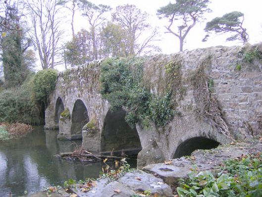 Cherrygrove Bridgebridge · 1298 yd
 CastleCastle, Anglo-Norman masonry castle · 1.3 mi
 Biodiversity in the Maigue CatchmentVisitor information · 1.4 mi
 Monasteranenagh AbbeyHeritage attraction · 1.5 mi
 Dysert AenghusaHeritage attraction · 2.4 mi
 Kinnoor WellSpring · 3.7 mi
 Villiers WellSpring · 4.9 mi