
What is recorded here
Situated on a low rise, in pasture with restricted views due to nearby low ridges. Depicted on the 1837 ed. OS 6-inch map as a roughly circular-shaped earthwork. Depicted on the revised 1913 ed. OS 25-inch map as a semi-circular-shaped earthwork, c. 45m S of Ballyboy House. Described in 1980 as a partially levelled, D-shaped area (dims. 31m NW-SE; 18.6m NE-SW) with a modified straight sided scarp to NE, beyond which the monument has been levelled from NW-N-E. The surviving portion of the earthwork is defined by an earth and stone bank from E-S-W-WNW. The bank is well preserved from SE-S-SW-WSW and at WNW, but it is reduced to a scarp WSW-W-WNW. There is no indication of an entrance and there is no trace of a fosse. The surviving portion of the interior is generally level and there is a small, shallow rectangular depression near the centre. A modern field boundary runs NE-SW just outside the perimeter to SE and a second boundary runs NW-SE to N. This partially levelled monument is visible as a tree-planted D-shaped area on Digital Globe aerial photography.
Compiled by: Alison McQueen, Vera Rahilly and Caimin O’Brien
Date of upload: 11 January 2019
A local fairy fort (ringfort/rath); wider significance not recorded.
This remains an important historical record, but the official description says the monument is no longer visible or has been destroyed. The monument record does not grant public access. Check the route and ask the landowner before entering private land.
- What survives
- No visible remains or recorded as destroyed
Places near here
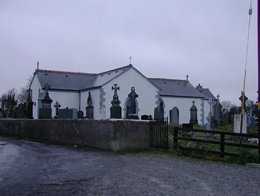 Catholic Church of the Assumptionchurch/chapel · 837 yd
 Partially indicatedFairy fort / earthen ringfort · 1159 yd
 Strand Househouse · 1289 yd
 OutlinedFairy fort / earthen ringfort · 1679 yd
 IndicatedCastle, motte · 1.0 mi
 Nugent's CastleCastle · 1.1 mi
 Carrickphilbin IslandIslet · 1.2 mi
 Srudarra IslandIslet · 1.5 mi
 WestmeathVisitor information · 2.2 mi
 Ancient Ring FortWood · 4.8 mi
 Baronstown ForestWood · 5.1 mi
 Abbeyshrule AbbeyRuins · 9.9 mi
Other information
Photo: Credit not shown in the picture search · Rights wording not checked; contact us if this picture should be removed