What is recorded here
In pasture, on a break on a S-facing slope. A circular area (diam. c. 36m) defined by a low grass-covered earthen bank NW-SE and by an earthen bank (Wth 5.45m; int. H 1.05m; ext. H 1.4m), which has been incorporated into the field boundary system, SE-NW. There is a possible Man-made underground passage (KE057-015002-) in the centre of the interior. This rath was described in the 1840s as being 'close to a well' (OSNB, Kilcolman, no. 2, 7) and there is a well (KE057-015001-) adjacent to it at N. Two other raths (KE057-016----, KE057-014----) are c. 70m and c. 30m to the E and W, respectively. A third rath (KE057-013----) lies c. 200m to the WSW.
Compiled by: Elizabeth Byrne, Ursula Egan and Sheila Ronan, Archaeological Survey Unit, University College, Cork.
Date of upload: 31 January 2011
The monument record does not grant public access. Check the route and ask the landowner before entering private land.
- What survives
- Recorded monument
Places near here
 Burnt spread in FarranmanaghBurnt spread · 1010 yd
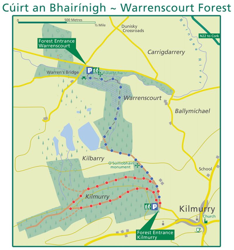 Fulacht fia in KillaclohaneFulacht fia · 1.1 mi
 The Kerry Creamery ExperienceHeritage attraction · 1.2 mi
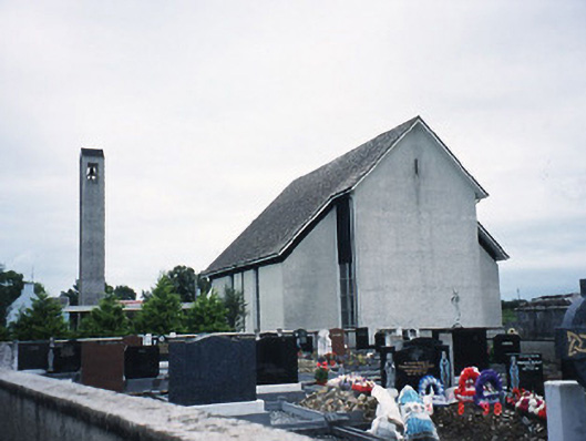 Catholic Church of the Immaculate Conceptionchurch/chapel · 1.3 mi
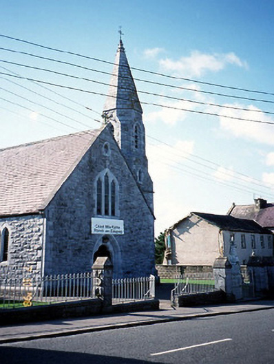 Catholic Church of the Sacred Heartchurch/chapel · 1.8 mi
 CastleCastle, tower house · 2.1 mi
 Site of Castle MaineCastle, Anglo-Norman masonry castle · 2.8 mi
 Clash IslandIslet · 3.7 mi
 Cloon IslandIsland · 4.1 mi
 King Puck statueMemorial · 4.6 mi
 Dunloe Ogham StonesHeritage attraction · 5.2 mi
 Japanese pagoda treeJapanese pagoda tree · 5.2 mi