What is recorded here
In a hollow, waterlogged field of pasture enclosed by a stream running along its NE side and surrounded on all sides by hills. Comprises a series of irregularly-shaped fields defined by shallow drains and scarps; the most prominent is a roughly rectangular strip field which runs NE-SW and is defined in the S by a ditch (Wth 4m, D 0.30-0.40m) and in the W by a bank (Wth 1.20m, H 0.40m) with external ditch (Wth 1.60m, D 0.30m). At the junction of this field and the next in the SW is a kidney-shaped mound (dims. L 3.50m, Wth 2.80m, H 0.90m). A sub-circular area defined by a ditch (Wth 2.30m) which contains faint traces of internal structures lies to the S of this field. Two drains run into the W section of this sub-circular feature.
The monument record does not grant public access. Check the route and ask the landowner before entering private land.
- What survives
- Recorded monument
Places near here
 Colmanstown Castle (in ruins)Castle, tower house · 4 yd
 Chapel (site of), GraveyardChurch · 165 yd
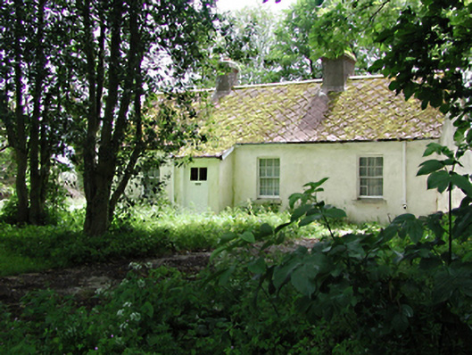 The Cottagehouse · 750 yd
 Cave siteMan-made underground passage · 785 yd
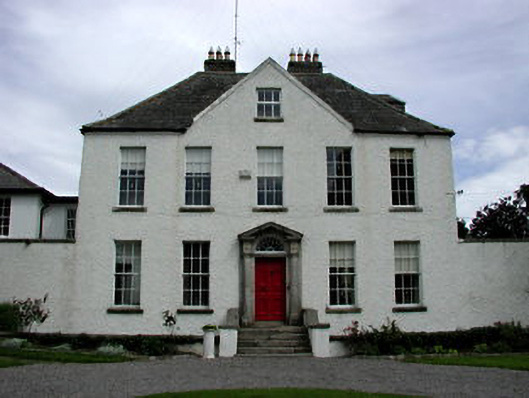 Athgoe Castlecountry house · 952 yd
 Athgoe HillMountain / peak · 1276 yd
 Saint Finian's WellSpring · 1.4 mi
 CastleCastle, tower house · 1.5 mi
 Inniscara GalleryGallery · 1.6 mi
 Icehouse WoodWood · 1.7 mi
 European YewEuropean Yew · 1.7 mi
 Meadow WildlifeVisitor information · 2.4 mi