What is recorded here
The official Northern Ireland record identifies this as OYSTER MIDDEN. Recorded period: PREHISTORIC. The official map point was placed at the centre of the recorded archaeological site from the source map reference.
The monument record does not grant public access. Check the route and ask the landowner before entering private land.
- What survives
- Recorded monument
Places near here
 CASTLE in Demesne OF Down; DownpatrickCASTLE · 347 yd
 The Mound of DownVisitor information · 603 yd
 Holy Trinity CathedralChurch · 610 yd
 DOWNPATRICK TOWN CROSS; BENEDICTINE MONASTERY; MULTIPERIOD CHURCH SITE; PRE-HISTORIC SETTLEMENT SITE; EARTHWORKS & GRAVEYARD: CATHEDRAL HILL in Demesne OF Down; DownpatrickDOWNPATRICK TOWN CROSS; BENEDICTINE MONASTERY; MULTIPERIOD CHURCH SITE; PRE-HISTORIC SETTLEMENT SITE; EARTHWORKS & GRAVEYARD: CATHEDRAL HILL · 627 yd
 St. Patrick's GraveHeritage attraction · 631 yd
 Down County MuseumMuseum · 638 yd
 Cell BlockPrison · 642 yd
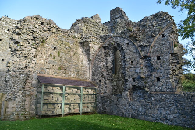 Inch AbbeyArchaeological place · 702 yd
 CHURCH & CASTLE (remains of): ST. MARGARET'S in Demesne OF Down; DownpatrickCHURCH & CASTLE (remains of): ST. MARGARET'S · 884 yd
 St Margaret's Down Parish ChurchVisitor information · 919 yd
 Portulla WoodWood · 1745 yd
 Hollymount ForestWood · 1.3 mi